
Hiking - Page 3
Pedestrian sports Hiking itinerary
Martigues
(Location)
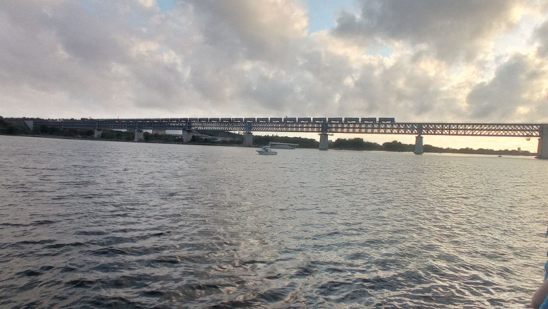
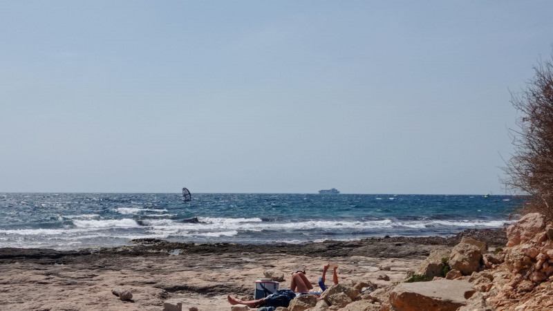
Section A07 of the GR2013. From Gare de Croix Sainte (Martigues) to Port de Bouc. A 3.7km route to discover a natural and industrial landscape.
-
Route :
- Distance (km) : 3.7
- Daily duration (minutes) : 90
Pedestrian sports Hiking itinerary
Martigues
(Location)
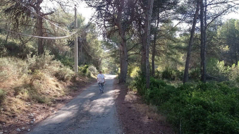
Between the Mediterranean and Etang de Berre, on the western edge of the Nerthe massif, lies the terroir of Venice Provençale.
-
Route :
- Distance (km) : 11
- Daily duration (minutes) : 150
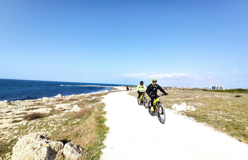
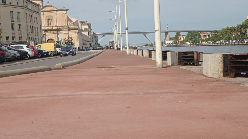
Sport Cycling sports Cycle tourism route Cycle sports
Leaving from the Martigues Tourist Office, hop on your bike and cycle back to Marseille along a 58km itinerary that is suitable for cyclists but not ...
-
Route :
- Distance (km) : 58
- Daily duration (minutes) : 330
Pedestrian sports Hiking itinerary
Martigues
(Location)
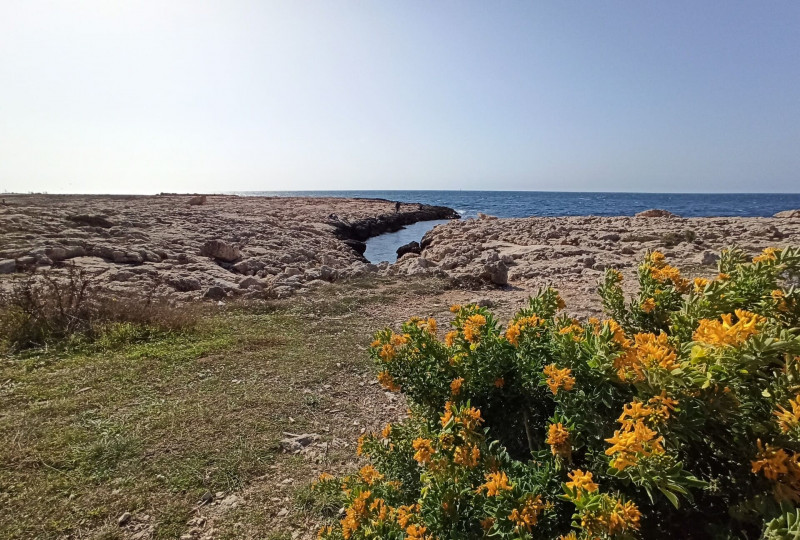
This trail will allow you to discover the tremendous diversity of marine and terrestrial vegetation. You too will fall in love with this deluge of colors and scents.
-
Route :
- Distance (km) : 5.7
- Daily duration (minutes) : 180
Pedestrian sports Hiking itinerary
Martigues
(Location)
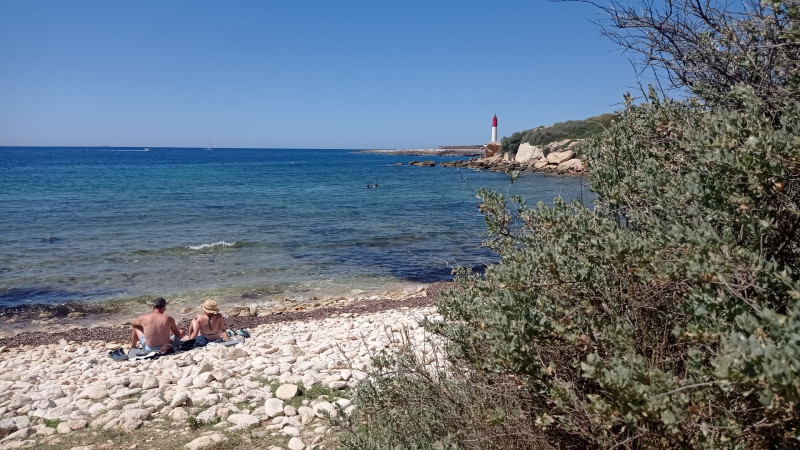
A wellness walk by the sea. Located on the coast between Carro and Les Laurons, this 1.5 km long and 3 m wide path is passable.
-
Route :
- Distance (km) : 1.5
- Daily duration (minutes) : 45
-
Offers tailored to specific clienteles :
- Children
Pedestrian sports Hiking itinerary
Martigues
(Location)
The greenway serves the Lavéra station towards the city center of Martigues. Over 2 km, you can choose to come to Martigues by train (via the Côte Bleue train (TER 07 between ...
-
Route :
- Distance (km) : 2
Pedestrian sports Hiking itinerary
Martigues
(Location)
Between the Mediterranean and Etang de Berre, on the western edge of the Nerthe massif, lies the terroir of Venice Provençale.
-
Route :
- Distance (km) : 4
- Daily duration (minutes) : 90
Pedestrian sports Hiking itinerary
Martigues
(Location)
The Plaine de Carro botanical path is intended for original and educational walks to discover all the natural beauty of the Côte Bleue.
-
Route :
- Distance (km) : 4