
In the footsteps of Marie-Madeleine - From Fos-sur-mer to Martigues
Pedestrian sports, Hiking itinerary Interdepartmental Interdepartmental Pilgrims Walkers/hikersItinéraire
 Departure/Arrival
 Point of interest
Circuit n° 1
Point 1 - From Fos-sur-Mer
Return to the edge of the pond.
Turn right towards the wooden footbridge. On the other bank, take the path to the left along the reservoir, passing the water tanks. At the first houses, cross the DFCI barrier and turn right towards the roundabout.
Yellow markers
Continue by taking the first exit on the right onto the Chemin du Plan d’Arenc. Pass some houses and keep to the right.
At the information panel, cross the DFCI barrier and follow the path through the pine forest.
Go around a field of crops.
Point 2 - Along the canal
Blue markers
Descend towards the railway line. After a sharp right turn, follow the railway to use the small underpass.
Keep left on the track that passes between the ponds. At the crossroads, go straight up towards the Martigues Canal.
Turn left onto the path that follows the canal and arrive at the Saint-Blaise archaeological site parking area.
Turn right, take the path that skirts the site to the left, running alongside the D 51 towards an electricity pylon.
On the right, follow the power line towards the Pourra pond. At the 5th pylon, leave the line.
At the crossroads, go left towards the dry stone wall to cross the road and follow the old Fos path, which climbs gently opposite. 150 m after the last shed, turn right onto the footpath.
Point 3 - Direction Saint-Mitre-les-Remparts
Join a housing estate and the D 50z. Turn left and use the pedestrian crossing under the D 5. Cross the parking lot on the left and just before the town hall, take the stairs on the left to go up Rue Louis Brauquier and Rue des Veles. Cross the small square and turn left onto Grand’ Rue.
After the church, continue to the right towards the square. Follow Rue des Paillères, Boulevard de la Fontaine du Loup, and Chemin de la Fontaine du Loup.
At the barrier, continue downhill to the left. After 100 meters, turn right. At the next intersection, turn right at a hairpin bend, pass Fontaine du Loup, then turn left again, cross the Saint-Mitre canal, cross the road, and continue straight ahead between the two utility poles.
After the last house, turn right towards the olive trees and the Mauvejeane estate. Keep to the right and go around the Collet Long hill. 500 m past the estate, turn left between two fields, along a cypress hedge, and cross it to the right before the property. Follow the hairpin bend and go left up the track which turns right. At the intersection, stay right and then go straight ahead towards the La Loubière DFCI cistern no. 358.
Point 4 - Martigues town center
Turn right, and at the crossroads, turn right again, parallel to the Étang de Berre (Berre Lagoon). Continue for 900 meters and descend the track on the left. You can see a centuries-old oak tree there. Turn right towards the ruins of Figuerolles and reach the seafront.
On the right, follow the shoreline to Figuerolles beach. Head inland to take the track parallel to the coastline. 500 meters further on, leave the track on the left to follow the coastal path to the first houses. Follow the Allée Jean Baptiste Clément.
At the crossroads, descend to the left onto Boulevard du Touret de Vallier, then take the path that follows the coastline. Follow the junction with the GR® de Pays 2013 Marseille Provence Métropole (Marseille Provence Metropolis GR® long-distance hiking trail).
Point 5 - Crossing the gardens
Yellow/Red Waymarking
Cross the marina, follow the slightly elevated shoreline to the Tholon archaeological garden. Cross the garden and turn left up Avenue Mozart, then turn left again at the end. At the roundabout, take the second exit, Avenue du Président Salvador Allende. After number 28, leave the road to rejoin the landscaped promenade along the riverbank, cross La Rode Park, the square, and Place des Aires. Cross the fixed bridge over the Baussengue Canal on the left, then the Gallifet Canal via the swing bridge, and follow Quai Général-Leclerc. After the real estate agency and the opticians, turn right onto Place des Martyrs. At the insurance office, turn left onto Avenue Frédéric-Mistral. After number 32, turn right onto the discreet Traverse Joseph Barthélémy.
Cross the marina, follow the slightly elevated shoreline to the Tholon archaeological garden. Cross the garden and turn left up Avenue Mozart, then turn left again at the end. At the roundabout, take the second exit, Avenue du Président Salvador Allende. After number 28, leave the road to rejoin the landscaped promenade along the riverbank, cross La Rode Park, the square, and Place des Aires. Cross the fixed bridge over the Baussengue Canal on the left, then the Gallifet Canal via the swing bridge, and follow Quai Général-Leclerc. After the real estate agency and the opticians, turn right onto Place des Martyrs. At the insurance office, turn left onto Avenue Frédéric-Mistral. After number 32, turn right onto the discreet Traverse Joseph Barthélémy.
Presentation
This is stage 03 of the itinerary "In the footsteps of Marie-Madeleine" dedicated to Sainte-Marie-Madeleine. The circuit will make you travel to discover the religious heritage of Martigues.
Stage 3 connects Fos-sur-Mer to Martigues over approximately 20 km, with a walk of about 5 to 6 hours and a moderate profile alternating between inland and coastal areas.
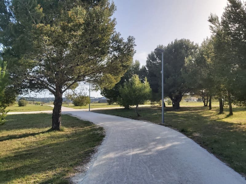
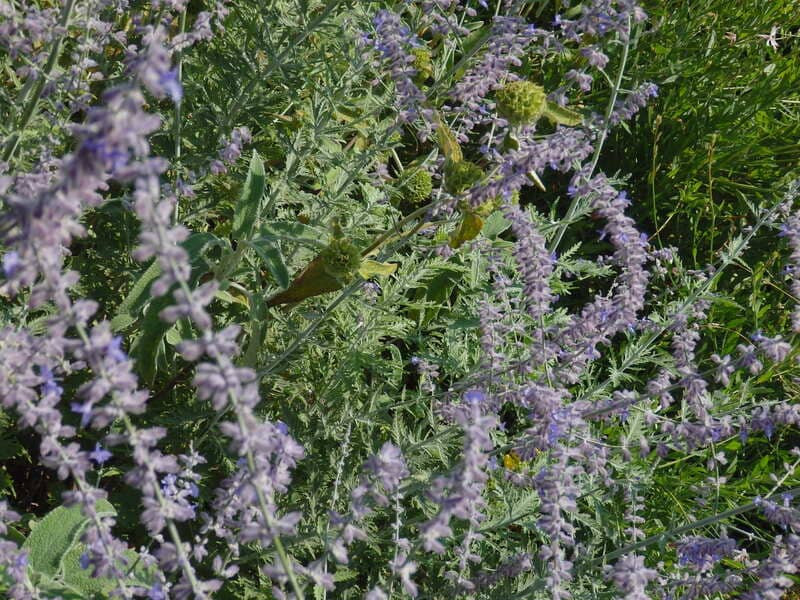
From the start, the path leads you to the edge of the lagoon before entering natural areas of pine forests and marshes. You will walk alongside ponds, cross agricultural areas, and then reach the shores of the Étang de Berre, passing through beaches and coastal areas that alternate between tranquility and sweeping sea views.
The route continues along the coast, partly on the GR® de Pays long-distance hiking trail, until you reach the entrance to Martigues, a typical Provençal town of water and canals.
For hikers seeking meaning, this stage is not simply a passage between two geographical points: it offers moments of listening and presence amidst the changing landscapes, from the water's edge to the wooded areas, and prepares you for your arrival in an urban center rich in spiritual sites.
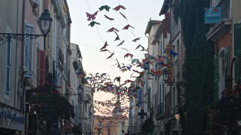
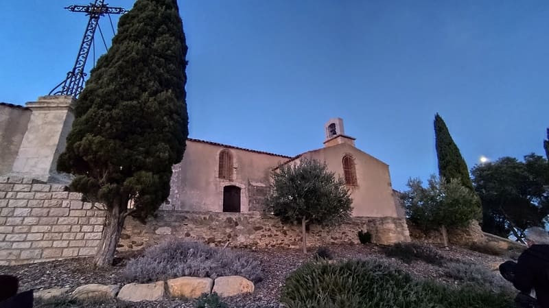
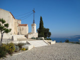
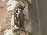
In Martigues, several religious sites can punctuate a meditative break: the imposing Sainte-Marie-Madeleine church, the peaceful canals of the Île district, or the Notre-Dame-des-Marins Chapel perched on the hill, invite contemplation and reflection at the end of the stage.
From the start, the path leads you to the edge of the lagoon before entering natural areas of pine forests and marshes. You will walk alongside ponds, cross agricultural areas, and then reach the shores of the Étang de Berre, passing through beaches and coastal areas that alternate between tranquility and sweeping sea views.
The route continues along the coast, partly on the GR® de Pays long-distance hiking trail, until you reach the entrance to Martigues, a typical Provençal town of water and canals.
For hikers seeking meaning, this stage is not simply a passage between two geographical points: it offers moments of listening and presence amidst the changing landscapes, from the water's edge to the wooded areas, and prepares you for your arrival in an urban center rich in spiritual sites.
In Martigues, several religious sites can punctuate a meditative break: the imposing Sainte-Marie-Madeleine church, the peaceful canals of the Île district, or the Notre-Dame-des-Marins Chapel perched on the hill, invite contemplation and reflection at the end of the stage.
Opening period (s)All year round daily.
Subject to favorable weather.
Subject to favorable weather.
Practical information
- Route :
- Signposted route
- Distance (km) : 24.6
- Route : Aller / Itinerance
- Route : 277
- Parking :
- Free car park
- Levels of sporting experience :
- Levels of sporting experience
- Natures field :
- Rock
- Stone
- Clay
Features/Theme
- Environments :
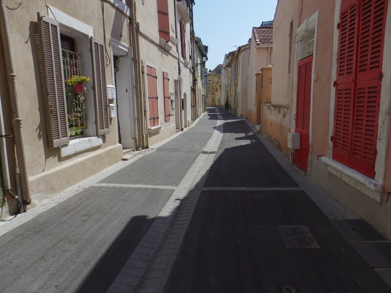
- Village centre
- Town location
- In the old centre
Download
Photos


We also suggest...

