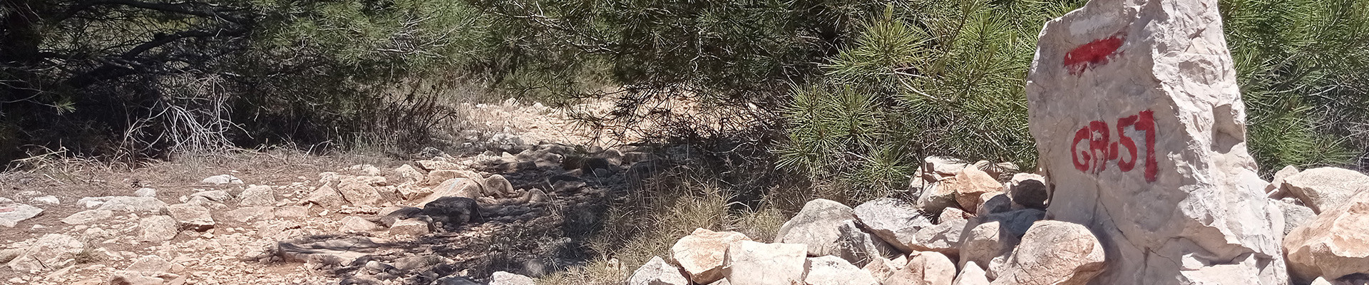
Walks and hiking trails in Martigues
It takes 3 to 4 days to cover the 62 km walking trail, Grand Sentier de la Côte Bleue. The trail includes 17 internal circular itineraries from 2 to 12 km with different gradients. Most of the itineraries are accessible from railway stations: Niolon, Ensuès le Redonne, Carry le Rouet, Sausset les Pins and La Couronne.
The 90 km walking trail, Sentier Entre Mer et Etang, overlooks the Mediterranean surrounded by hills and the banks of Étang de Berre, on the outskirts of the Camargue. It links three communes: Martigues, Port de Bouc and St Mitre les Remparts. The trail includes 8 internal circular walks from 4 to 14 km with different gradients.
The diversity of trails satisfies all types of walkers, from families to serious hikers.


Pedestrian sports Hiking itinerary
Martigues
(Location)
Between the Mediterranean and Etang de Berre, on the western edge of the Nerthe massif, lies the terroir of Venice Provençale.
-
Route :
- Distance (km) : 4
- Daily duration (minutes) : 90

Between hiking and pilgrimage, discover major places and sites of Christianity as well as the exceptional landscapes that the saint crossed during her...
-
Route :
- Distance (km) : 46.5
Pedestrian sports Hiking itinerary
Martigues
(Location)
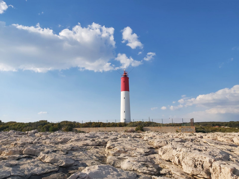
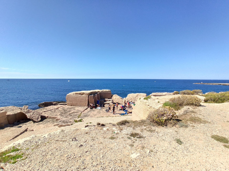
Over a distance of 24 km 500, the Cap Couronne loop located in the southern part of the town of Martigues, will make you discover an exceptional natural and historical heritage.
-
Route :
- Distance (km) : 24.5
- Daily duration (minutes) : 360

Pedestrian sports Hiking itinerary
Martigues
(Location)
Section A07 of the GR2013. From Gare de Croix Sainte (Martigues) to Port de Bouc. A 3.7km route to discover a natural and industrial landscape.
-
Route :
- Distance (km) : 3.7
- Daily duration (minutes) : 90

The Grand Parc de Figuerolles de Martigues is a large area of 130ha. Several courses have been developed from 3km to 7km for families.
-
Route :
- Distance (km) : 7
- Daily duration (minutes) : 90
Pedestrian sports Hiking itinerary
Martigues
(Location)
Surprising mineral case nestled in the heart of the Côte Bleue. This tourist loop invites you to discover a bend of a major front on the blue of the Mediterranean.
-
Route :
- Distance (km) : 12
- Daily duration (minutes) : 180

Sport Cycling sports Cycle tourism route Cycle sports
Cycle to Port-Saint-Louis-du-Rhône in the Camargue from Martigues via a suitable but unmarked route.
-
Route :
- Distance (km) : 47
- Daily duration (minutes) : 210

Pedestrian sports Hiking itinerary
Martigues
(Location)
Between the Mediterranean and Etang de Berre, on the western borders of the Nerthe massif, lies the terroir of Venice Provençale.
-
Route :
- Distance (km) : 19
- Daily duration (minutes) : 270

Pedestrian sports Hiking itinerary
Martigues
(Location)
The Entre mer et Étang trail, open to the Mediterranean Sea, bordered by the hills and the banks of the Étang de Berre, at the gateway to the Camargue, is 38 km long.
-
Route :
- Distance (km) : 36.59
Pedestrian sports Hiking itinerary
Martigues
(Location)
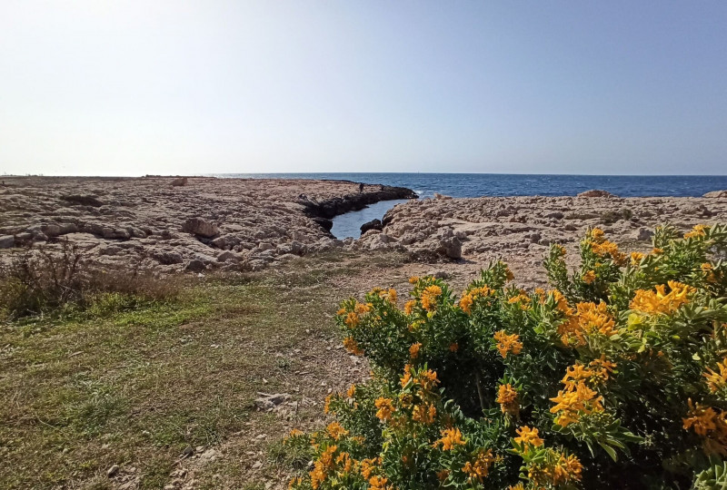
The Plaine de Carro botanical path is intended for original and educational walks to discover all the natural beauty of the Côte Bleue.
-
Route :
- Distance (km) : 4