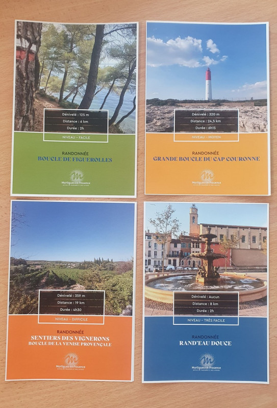
Lot 4 hiking topos
€2.40
Discover 4 hiking topos available at the Martigues Tourist Office to take with you on your walks and hikes.
We have selected for you the 4 hikes most popular with Martigues residents. The essential document to discover the most beautiful landscapes of Martigues.
The 4 hiking topo (price per unit):
Grande boucle du Cap Couronne - 24.5 km - 6h15. Medium level.
Over a distance of 24.5 km, the Cap Couronne loop located in the southern part of the town of Martigues, will make you discover an exceptional natural and historical heritage.
This loop is one of the 8 local loops of the Grand Sentier de la Côte Bleue. Learn more
Sentier des vignerons (Boucle de la Venise Provençale) - 19 km - 4h30. Difficult level.
Between the Mediterranean and the Etang de Berre, on the western edge of the Nerthe massif, lies the land of the Venice of Provence. Learn more
Figuerolles loop - 6 km - 2 hours. Easy level.
Nature walk to discover the agricultural heritage of the Grand Parc de Figuerolles. Loop that allows you to go along the Etang de Berre. Learn more
Rand'eau douce - 8 km - 2 hours. Very easy level.
Martigues is a city surrounded by water which was its main wealth for many centuries but this water is salty. This city is made up of three districts connected by many bridges, which allowed it to be called the "Venice of Provence". Hike in the city center of Martigues. Learn more


