
Hiking in Figuerolles
Pedestrian sports, Hiking itinerary Interdepartmental InterdepartmentalItinéraire
 Departure/Arrival
 Point of interest
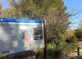
Access condition: Between June 1 and September 30, access to forest areas is regulated by prefectural decree and may be by municipal decree, for your safety and the preservation of sensitive sites. Before following your “stroll desires”, call 0811 20 13 13. Each day, you will be able to find out if the site where you want to walk is free access all day, open only in the morning, or completely closed. Depending on the weather conditions, the “forest fire” danger level (orange-red-black) is known no later than 6 pm for the next day.
Point 1 - Main entrance to Parc de Figuerolles - Figuerolle loop
Take a right towards the Mediterranean gardens.
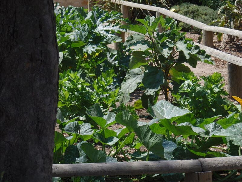
The Mediterranean gardens of Parc de Figuerolles are located on the site of the former estate of the Sunhary de Verville family. The plantations are organized, according to the theme of resistance to drought, around six gardens. Each garden therefore corresponds to a resistance level, classified from 1 to 6. The plants in garden 1 can withstand drought for 1 month; garden plants 6, up to 6 months.
In addition to the 27 native plant species (Aleppo pine, Holm oak, etc.), or introduced by the Sunhary de Verville family (Yucca, Indian lilacs, pink laurels, etc.), this site brings together nearly 300 plant species representative of 'flora adapted to the Mediterranean climate, over an area of approximately two hectares. An area where protected plants thrive (Marum-leaved Helianthemum and Thornless Bugrane) is marked off near the main entrance.
On your left you can see an ornamental aquatic pool.
The two large pools on the Sunhary de Verville estate have benefited from particularly careful aesthetic treatment. The oval basin was located very close to the Chalet de Figuerolles. It is adorned with a rockery ornamental fountain, the work of a rock-cement maker. Rockery is a decorative technique born at the end of the 19th century, which consists in imitating stone and in particular tuff or travertine, using concrete. The rockers embed with cement, metal structures to execute false stones, false bricks, false woods, false rocks and false vegetation. They thus decorate entire facades, portals, bridges, caves and gardens.
The rockeries spotted on the estate reproduce in abundance similar trompe l'oeil decorations. Dating from the end of the 19th century, it is located very close to the Domaine de Verville chalet and has an ornamental fountain. Its construction was the work of a rock-cement artist, according to an architectural style brought up to date by Napoleon III around 1860: the art of the Rocailleurs. Rockery is a decorative technique consisting in imitating stone and in particular tuff or travertine by using concrete. The advent of the art of Rocailleurs was made possible by two inventions: Portland cement, created in England in 1824; Reinforced concrete, created in 1848. The appearance of an unnatural cement gave free rein to the inventiveness of the architects of the time by allowing materials to be shaped much better.
Thus, this art brought a strong touch of exoticism to these kiosks. The artist drew heavily on nature by copying it. The fake and the genuine could be closely interwoven in the construction. Here, the cavity under the basins, which looks like a cave, is made up of artificial stones mixed with blocks of Miocene shell limestone extracted near Ponteau.
At the first crossroads, turn left and then walk along the fence of the park enclosure. On your left you will see the orchard of old varieties and the Mas de Verville
The houses and buildings of rural life, fitted out by former farmers and recorded on the land register of 1817 are still visible in the park. The houses served as accommodation for their owners, and / or possibly, for the larger ones, for their agricultural staff. The largest of them grew over three plots. It had a total area of 279 m2.
It is therefore a large farm, belonging in 1817 to Marine Captain YTIER. It was built in the 18th century. This farm operated a vast area of nearly 15 hectares. This domain will belong thereafter (at the end of the XIXth century) to Félix FOURNIER, then in 1913 to the SUNHARY DE VERVILLE family. It is now occupied by the Pays Martégal integration project.
Point 2 - Cabanon de l'Ane - Figuerolles loop
Go behind the Cabanon de l'Ane.
Continue straight ahead, follow the path to the left, take the path and leave the Espace Equestre Municipal on your left.
The second basin, adjoining the Verville farm, is 40 m long by 20 m wide. Its approximate capacity is 1500 m3. This basin is characterized by ashlar masonry, with buttresses, and paired stone corner chains. It was disembowelled in the second half of the 20th century, to install stables there. These stables were rehabilitated in 2006 to accommodate the Municipal Equestrian Space of Figuerolles.
Follow the road to the intersection, leaving the educational farm on your left.
It is made up of two main buildings: the “Maison de la Nature” and the “Ferme Mandine”. The first was originally a barn attached to the Mandine farm. It was built in the 18th century and was used for the storage of fodder and to store equipment. Still in use today, the "Ferme Mandine" is the oldest habitable building on the site. It is spread over three plots. Its area is 279m2.
This farm certainly served as a mansion. It was built as follows: The western part, the oldest dates from the 17th century (it knew Louis XIV). The eastern part, the most recent, dates from the 18th century, accommodates the administrative premises of the Park Management. This building belonged to the Ytier family according to the land register of 1817. This farm has two wells with various water distribution elements such as a basin, a washhouse and a drinking trough.
Point 2 - Threshing floor - Figuerolles loop
At the intersection, turn right, follow the road, you will see on your right a circular threshing floor in front of the dinosaur play area.
Fifteen threshing areas for cereals located in the Parc de Figuerolles are listed in the land register of 1817. They must have already been in service in the 17th century. Threshing consists of separating the grain from the straw from the cereals (wheat, oats, rye, barley). The circular threshing floor was a platform paved with small pebbles or small stones, with a border of large stones cut around the perimeter, so that the animals could be guided. It had to be very clean so that the grain was not soiled.
In the center of the area, a hole made it possible to thread a post at the top of which was attached a turnstile. A rope, connected to the tourniquet, was attached to the halter of the horse or mule. The threshing or treading was done by means of the trampling of the animal which was circling around the central post. The stone roll dragged by an equine on the air did not spread in Provence until the 19th century. The crushed straw was used as food for cattle during the winter.
Point 4 - Mountain biking area - Figuerolles loop
At the crossroads, cross the road and retrieve the fitness trail. Leave the restanques path on your left.
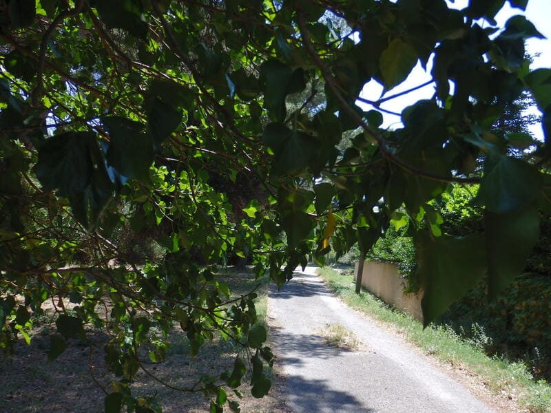
Follow the path that passes in front of the V.T.T. Take the path on your right and continue straight for 1 km, you will cross the scrubland and the pine forest.
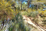
The temperate evergreen forest is characterized by stands of evergreen trees (Aleppo pines, holm oaks, etc.) and is found very regularly in Mediterranean regions which have a hot summer and a mild winter. A pine forest, pine grove or pine grove is a forest or plantation of pines, coniferous trees of the genus Pinus. The scrubland is characterized by shrub vegetation, made up of a large number of aromatic species. Thyme, rosemary, cistus as well as Kermès oak and juniper populate this typical environment of Provençal landscapes.
The path descends to an orientation table with a view of the Berre pond
The Etang de Berre forms with the Etang de Vaïne and the Etang de Bolmon a Mediterranean lagoon. A lagoon is by definition a generally shallow body of water, with varying salinity, separated from the sea by a coastal barrier. Its area is 155 km², it is 20 km long and 16.5 km wide, and its depth can reach up to 9.5 meters. It is the 2nd largest salt (brackish) lake in Europe. Often described as an exclusively industrial site, inevitably evoking images of pollution, the Etang de Berre nevertheless conceals real riches. It offers a mosaic of landscapes but also an important biodiversity.
Follow the path that passes in front of the V.T.T. Take the path on your right and continue straight for 1 km, you will cross the scrubland and the pine forest.
The temperate evergreen forest is characterized by stands of evergreen trees (Aleppo pines, holm oaks, etc.) and is found very regularly in Mediterranean regions which have a hot summer and a mild winter. A pine forest, pine grove or pine grove is a forest or plantation of pines, coniferous trees of the genus Pinus. The scrubland is characterized by shrub vegetation, made up of a large number of aromatic species. Thyme, rosemary, cistus as well as Kermès oak and juniper populate this typical environment of Provençal landscapes.
The path descends to an orientation table with a view of the Berre pond
The Etang de Berre forms with the Etang de Vaïne and the Etang de Bolmon a Mediterranean lagoon. A lagoon is by definition a generally shallow body of water, with varying salinity, separated from the sea by a coastal barrier. Its area is 155 km², it is 20 km long and 16.5 km wide, and its depth can reach up to 9.5 meters. It is the 2nd largest salt (brackish) lake in Europe. Often described as an exclusively industrial site, inevitably evoking images of pollution, the Etang de Berre nevertheless conceals real riches. It offers a mosaic of landscapes but also an important biodiversity.
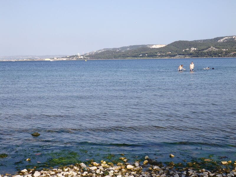
Point 5 - Etang de Berre - Figuerolles loop
At the intersection, turn left, continue straight until the directional post which tells you to go down on the GR towards the Figuerolles cove.
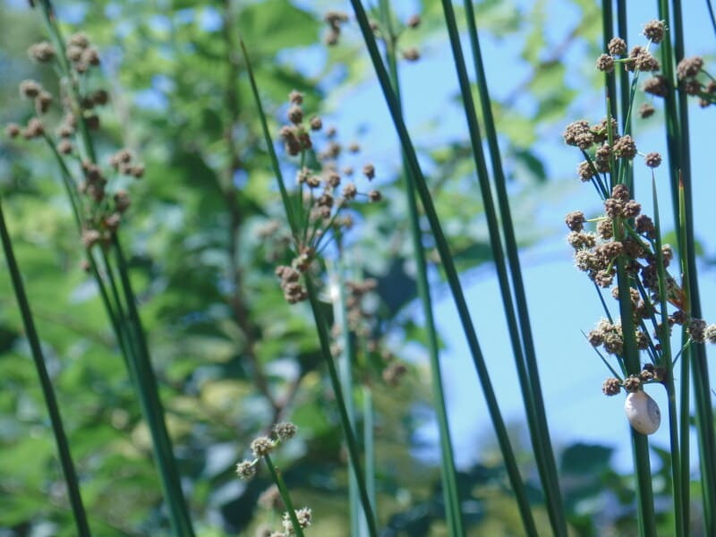
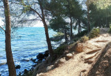
The Figuerolles cove has specific vegetation, known as halophilic, which has adapted to the presence of salt from the sea spray from the pond. Tamarisk, Swiss chard or False crist inula inhabit this environment characterized by a low number of species.
Continue along the path on your left to the beach.
After the pirate ship play area, go up the asphalt road.
At the top, take the path that goes to the right.
Before the D.F.C.I. barrier, stay on the path to the left.
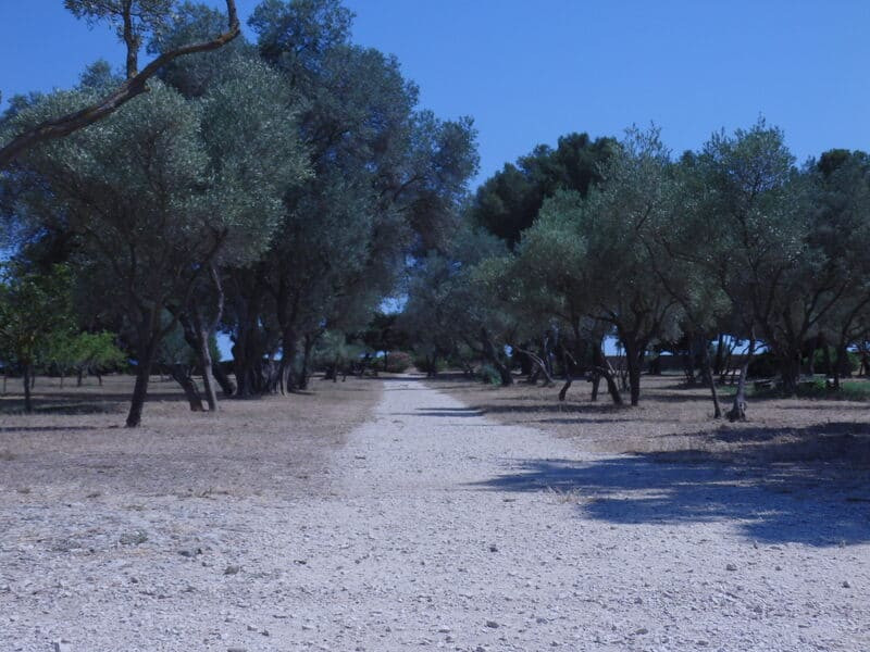
Go behind the olive trees, follow the path above the mound towards the D.F.C.I.
Take the path that goes down to your left and stay to the right. Continue straight through the pine forest.
At the bottom of the path, stay to your left.
The Figuerolles cove has specific vegetation, known as halophilic, which has adapted to the presence of salt from the sea spray from the pond. Tamarisk, Swiss chard or False crist inula inhabit this environment characterized by a low number of species.
Continue along the path on your left to the beach.
After the pirate ship play area, go up the asphalt road.
At the top, take the path that goes to the right.
Before the D.F.C.I. barrier, stay on the path to the left.
Go behind the olive trees, follow the path above the mound towards the D.F.C.I.
Take the path that goes down to your left and stay to the right. Continue straight through the pine forest.
At the bottom of the path, stay to your left.
Point 6 - Water Castle - Figuerolles Loop
Continue on the path to the water tower, leaving the educational apiary on your left.
Continue on the trail to the main entrance to the park.
The water tower is a tower, about 15 m high, treated as a watchtower according to the art of Rocailleurs with its iron balcony overlooking the Magrignane lake. It is surmounted by a metal tank, visible from the entire park and even from all north of Martigues and Saint-Miter les Remparts. It is the main hydraulic structure for the recovery, distribution and storage of water in the Verville family estate, from the aquifer of the Etang de Magrignane.
The water brought up mechanically in the tank was conveyed by buried cast iron pipes to the two large basins of the area (the ornamental basin and the basin transformed into a stable) and to cisterns buried near the living quarters (Chalet de Figuerolles, Mas de Verville,…). It is interesting to note that the water tower is a remarkable landmark whose summit is at the coast +75 m, used by fishermen and sailors sailing on the Etang de Berre. From the beginning of June to the end of September, the water tables drop in the wells. It is necessary to have a sufficient volume of water, stored either in basins or in cisterns. This water can then be used at the discretion of each farmer.
This tower is characterized by trompe-oeil: false stones; a false lookout and its ironwork balcony; false loopholes; false openings; false planters. The building is dated 1899, as evidenced by an engraving executed at its base: 1899. The rock artisans also signed the building with the initials: LNPF.
Presentation
Nature is often very beautiful here and the farm animals can be seen very closely. What magic to see the gaze of children resting, sometimes for the first time, on curious, majestic animals.
Walking trail for exploring the farming activity in the Grand Parc de Figuerolles. Circular route along Étang de Berre.
In detail : Natural and rural landscapes.
The Parc de Figuerolles Mediterranean gardens are located on the site of the former Sunhary de Verville family estate. The plantations are organised in 6 gardens, grouped by their resistance to drought. The site of about 2 hectares includes almost 300 plant species representative of flora adapted to the Mediterranean climate, as well as 27 native plant species such as Aleppo pine and evergreen oak, and other species introduced by the Sunhary de Verville family including yucca, crepe myrtle and oleander.
Rural houses and other buildings built by farmers, which featured on the land registry from 1817, can still be seen in the park. The houses were used by the owners and/or in some cases for the larger houses, their farming staff. The largest stretches over 3 plots. It had a surface area of 279 m2. It is the large farm that belonged to the Marine Captain Ytier in 1817.
Opening period (s)All year round daily between 6 am and 8 pm.
Subject to favorable weather.
Subject to favorable weather.
Practical information
- Route :
- Signposted route
- Distance (km) : 6
- Daily duration (minutes) : 150
- Route : Aller / Itinerance
- Route : 125
- Parking :
- Coach parking
- Free car park
- Levels of sporting experience :
- Level green –very easy
Features/Theme
- Leisure facilities :
- Picnic area
- Play area
- Environments :
- Town location
- Pond within 5 km
Download
Pics


We also suggest...
