L'Ile Verte
IslandPresentation
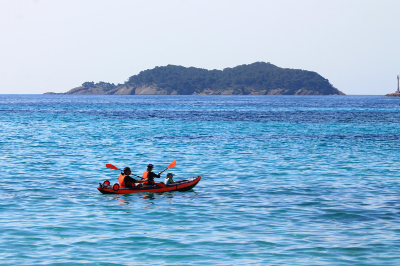
A piece of land covered with greenery, more than 400 meters from the continent, opposite the Bec de l'Aigle.
Integrated in the classified site of Cap Canaille, the exceptional île Verte is one of the jewels of the departmental heritage.
Its acquisition dates back to 1963. Its modest dimensions (420 meters long and 260 wide) nevertheless reveal a territory of 13 hectares rich in a beautiful diversity of landscapes and places.
To discover: at the highest point, at 49 meters above sea level, a hill surmounted by Fort Saint-Pierre, a delicate wooded area that fires have not attacked since 1957, Napoleonic forts and blockhouses dating from the last world war , The intimate beaches of Saint-Pierre, the Plageolle and Seynerolles, and traces of protohistoric habitat. Around, the magnificence of the marine environment attracts many fans of diving.
Practical information
- Visits :
- you can visit it
Contact
L'Ile Verte
13600
La Ciotat
Destination
L'Ile Verte
13600
La Ciotat
GPS coordinates
Latitude : 43.161429
Longitude : 5.617704
We also suggest...


