GR2013 - A17 - From Velaux to the cliff of Rognac
Sport Pedestrian sports Hiking itineraryPresentation
Section B05 of the GR2013. From Marseille's Vieux-Port to Mazargues. A 9.7km route to discover the "Bonne mère" and Marseille's Corniche.
This stage is right in the heart of the city: from the Vieux Port, you'll reach Marseille's highest point, Notre-Dame de la Garde.
You'll then descend to the Corniche Kennedy and walk along the sea to the Parc Borély.
Along the way, you'll have a chance to visit the Musée d'Art Contemporain.
You'll then descend to the Corniche Kennedy and walk along the sea to the Parc Borély.
Along the way, you'll have a chance to visit the Musée d'Art Contemporain.
Opening period (s)All year round.
Practical information
- Route :
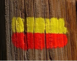
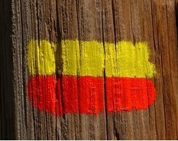
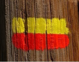
- Signposted route
- Distance (km) : 9.7
- Route : Aller / Itinerance
- Route : 219
- Park :
- Calanques National Park
Tarifs
Free access.
Download
Contact
GR2013 - A17 - From Velaux to the cliff of Rognac
Vieux-Port
13001
Marseille
Destination
GR2013 - B05 - Du Vieux-Port de Marseille à Mazargues
Vieux-Port
13001
Marseille
GPS coordinates
Latitude : 43.293659
Longitude : 5.37275
We also suggest ...
Section B06 of the GR2013. From Mazargues to Saint Marcel. A 10,5km walk to discover the huveaune valley, between the Etoile and Saint Cyr massifs.
-
Route :
- Distance (km) : 10.5
Section B04 of the GR2013. From Saint Louis to the Old Port of Marseille. A 9,2km route to discover the seaport of Marseille.
-
Route :
- Distance (km) : 9.2


