Alpilles – Mouriès, Caisses de Jean-Jean
Sport Pedestrian sports Hiking itinerary
Presentation
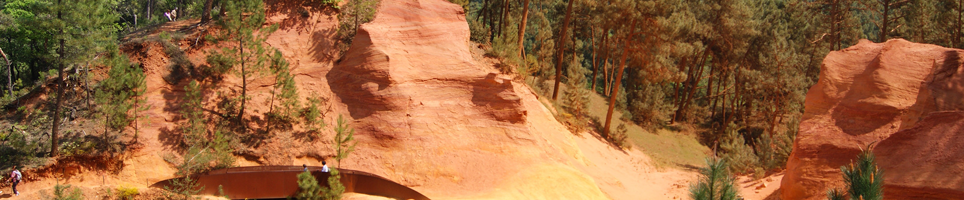
Very nice moderate hike of 3h (10,5km) in the Alpilles massif, starting from Mouriès. 2 possible variants (shorter or longer).
Between the Crau plain and the Alpilles massif, the 5 kilometer wide Vallée des Baux stretches from north to south for 20 kilometers. The landscape is dotted with olive groves alternating with AOC vines, cypress hedges, fruit orchards, almond trees, oak and juniper forests. If the marshes that it sheltered until the 1960s have been largely drained, the Valley does not lack water. The irrigation canals that have captured the waters of the Durance river come to redistribute it to the villages and the crops. Along this network of "gaudres", as the canals are called here, a whole aquaphilous flora and an intense fauna life thrive.
If you wish to repeat this hike, you can try a shorter variant by the golf of Servanes (-30 minutes), or a longer variant by the path of Cagalou (+30 minutes).
If you wish to repeat this hike, you can try a shorter variant by the golf of Servanes (-30 minutes), or a longer variant by the path of Cagalou (+30 minutes).
Opening period (s)All year round.
Practical information
- Route :
- Signposted route
- Distance (km) : 10.5
- Daily duration (minutes) : 180
- Route : BOUCLE
- Route : 283
- Visits :
- Average individual visit length (minutes) 180
- Levels of sporting experience :
- Level bue - Medium
- Tourist itinerary :
- Tourist itinerary
- Park :
- Alpilles Regional Nature Park
Tarifs
Free access.
Download
Contact
Alpilles – Mouriès, Caisses de Jean-Jean
Parking de l'Eglise
13890
Mouriès
FICHE_INFO_SIMPLE_LIBELLE_DESTINATION
Alpilles : Mouries - Les caisses de Jean-Jean
Parking de l'Eglise
13890
Mouriès
GPS coordinates
Latitude : 43.68875
Longitude : 4.871722