Alpilles: Mouriès - Aureille: In the heart of an olive grove
Sport Pedestrian sports Hiking itinerary


Presentation
This walk crosses from west to east a land shaped by man around the cultivation of olive trees, vines and fruit trees. Walking in the depression of Destet, the walker discovers the fertility of a massif known for its dryness.
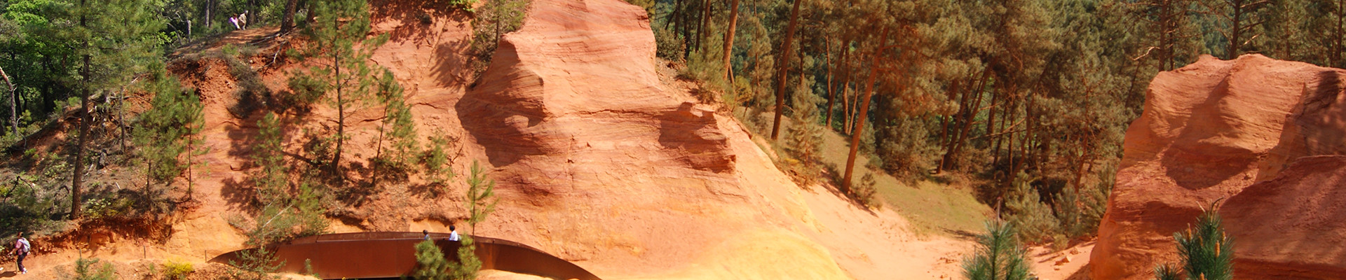
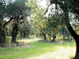
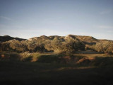
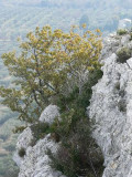
This is a route that will reconcile the walkers with classic images of agricultural Provence! Along the southern slopes of the Alpilles mountains between the villages of Mouries and Aureille, this hike without particular difficulty crosses from West to East a terroir man-made around olive, vine and fruit crops.Journeying in the depression of the Destet, framed by pine forests and scrubland, the Walker discovers with surprise sudden fertility of a mountain known for its drought.On Piedmont, mas and areas elected domicile, giving this depression look to welcoming agricultural oasis.Further, the plain of Askari is dominated by plots of olive trees. She announced the arrival in the village of Aureille, recognizable by the openwork Tower of its church.
Opening period (s)All year round.
Practical information
- Route :
- Signposted route
- Distance (km) : 15
- Daily duration (minutes) : 270
- Route : BOUCLE
- Route : 325
- Visits :
- Average individual visit length (minutes) 270
- Levels of sporting experience :
- Level bue - Medium
- Tourist itinerary :
- Tourist itinerary
- Park :
- Alpilles Regional Nature Park
Tarifs
Free access.
Contact
Alpilles: Mouriès - Aureille: In the heart of an olive grove
Parking de l'Europe
13890
Mouriès
FICHE_INFO_SIMPLE_LIBELLE_DESTINATION
Alpilles : Mouriès - Aureille : Au coeur d'une oliveraie
Parking de l'Europe
13890
Mouriès
GPS coordinates
Latitude : 43.691
Longitude : 4.870333