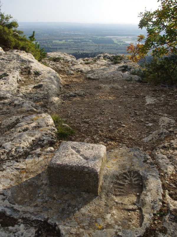
Alpilles : Lamanon - Eyguières : Le défens d'Eyguières
Sport Pedestrian sports Hiking itineraryPresentation
In the heart of the Parc Naturel Régional des Alpilles, between the Durance Valley in the North and Salon de Provence in the South, stands Le Défens.
This hike will immerse you in the heart of this territory, with a rather remarkable geological past, in the Miocene (-23 to -15 Ma) the sea covered a part of Provence: limestone of Calès and in the Pleistocene (-2 to -12 000 a) the Durance flows directly into the Mediterranean: birth of the Crau. Finally, there are places rich in historical heritage, such as the troglodytic caves of Calès, the Chapelle St Denis, the remains of castles, fountains, etc. From the top of the Défens, from Lamanon to Eyguières, through the shaded paths of the GR6, the paths in balconies and the forest tracks, you will see some of the most beautiful landscapes of Provence: the Crau Plain, the Opiès (summit of the Alpilles), the Durance Valley, the Luberon, the Camargue, etc.
White/red markings
White/red markings
Opening period (s)All year round.
Practical information
- Route :
- Signposted route
- Distance (km) : 14
- Daily duration (minutes) : 240
- Route : BOUCLE
- Route : 430
- Visits :
- Average individual visit length (minutes) 240
- Levels of sporting experience :
- Level bue - Medium
- Park :
- Alpilles Regional Nature Park
Tarifs
Free access.
Contact
Alpilles : Lamanon - Eyguières : Le défens d'Eyguières
Musée de Calès
13113
Lamanon
Destination
Alpilles : Lamanon - Eyguières : Le défens d'Eyguières
Musée de Calès
13113
Lamanon
GPS coordinates
Latitude : 43.70091
Longitude : 5.084394


