The Sainte Baume mountains
MountainPresentation
The Massif des Calanques, Massif du Grand Caunet and Massif de la Sainte-Baume are located to the extreme southeast of the Bouches-du-Rhône and cover an area of around 64,000 acres, stretching from the southern edge of Marseille to the border of the Var region.
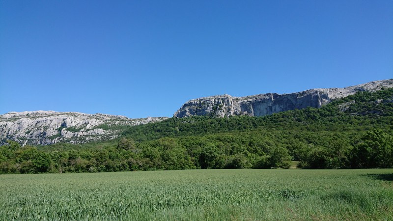
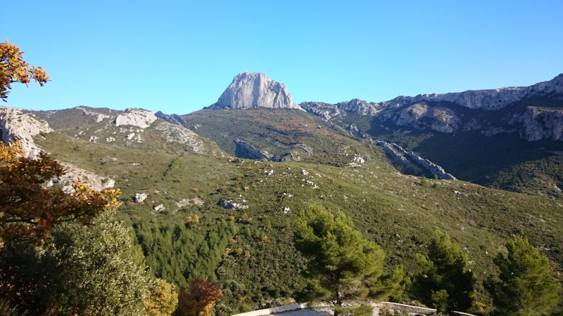
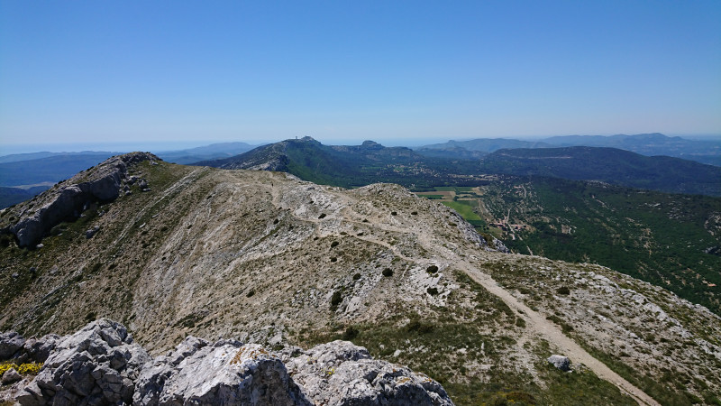
This geographical entity is characterised by a ragged relief, with altitudes varying from 0 – 1,000 m and often-steep slopes in its coastal areas. The relief gradually smoothes out towards the northeast (Sainte-Baume mountain), but remains fairly uneven.
These three massifs are located in the coastal Provence climate zone.
Average temperatures there are warm (13 to 14 °C) and variations are tempered by maritime influences. Rainfall is low: between 500 and 700 mm/year on average, although sea mist generally causes humidity to rise. …
Part of the small series of chalky, secondary ranges known as the Chaînons, the Calanques, Grand Caunet and Sainte-Baume massifs are characterised by average to fairly low forestation (47 %) with, however, characteristic vegetation in certain areas:
- the eastern and southern areas of the Sainte-Baume, Calanques and Cap Canaille, which have suffered from repeated forest fires in the last decades, are populated with garrigue and more-or-less dense young pine woods
- the northeastern area of the Sainte-Baume and extensive zone situated between La Penne-sur-Huveaune, Aubagne, southern Gémenos, Roquefort-la-Bédoule, Carnoux, eastern Cassis, eastern La Ciotat and Ceyreste, are populated with mature Aleppo pines and evergreen and white oaks.
The Aleppo pine is by far the most common tree variety found in the massifs (90 %) although it is sometimes accompanied by leafy varieties (mostly evergreen and white oaks), it is the only population growing on the northeastern slopes of the Sainte-Baume and Fontblanche.
The Massif des Calanques is an emblematic site. It is highly frequented throughout the year and in particular in summer, and is a major tourist attraction.
The Calanques, Cap Canaille and Grand Caunet areas represent high stakes in terms of development, ecology and human activity, due to their peri-urban context, highly attractive coastal location and special status as listed sites (Calanques, Cap Canaille, etc.) and Natura 2000 sites (Calanques - Saint-Cyr, Cap Canaille, Grand Caunet).
The Marcouline and Grand Caunet zones, which have been spared from forest fires for several decades, are less popular during the summer season. They nevertheless contribute to the quality of the Bouches-du-Rhônes eastern landscapes, and are more densely-forested than their neighbours.
These remarkable massifs are home to numerous "Forest Welcome Sites" (ZAPEF) situated in peri-urban or forest zones. However, the coastal areas continue to attract huge numbers of visitors, including during forest fire hazard periods, necessitating the implementation of special measures at Ile Verte, Mugel, Figuerolles in La Ciotat, and Port Miou, Port Pin, En Vau, Morgiou, Sormiou and Marseilleveyre in the "Calanques" (coastal fjords).
Practical information
- Visits :
- you can visit it
Contact
The Sainte Baume mountains
13400
Aubagne
Destination
Massif de la Sainte Baume
13400
Aubagne
GPS coordinates
Latitude : 43.3103
Longitude : 5.67612
We also suggest...


