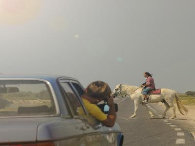
To the beach of Salin-de-Giraud
SportPresentation
A beautiful 116km drive. Dams, rice fields, marshes, canals: this sunny and wild expanse has been shaped by the meeting of two giants
the Mediterranean and the Rhône.
the Mediterranean and the Rhône.
The favorable city deserves that attention before winning the surrounding countryside. Stroll in the neighborhood of Arugula or visit the Museon Arles can mark a good starting point. Then roads progressed through the Camargue landscapes with its rice fields, marshes marshes and canals. Delta solar and wild, the Camargue has been shaped by the encounter of two giants, the Mediterranean and the Rhône. Étang de Vaccarès in the marshes of Romieu, the road leads to Salin-de-Giraud. The city was built to accommodate the workers of the exploitation of salt. The city is adjacent to grey salt dunes, the slides and the cars. This route then leads on the beaches of Piemanson, where lurks another vast universe. Then return to Arles will occur along the Grand Rhone.
From the Arles Tourist Office, turn left on Boulevard des Lices, then right on rue Gambetta in the direction of Trinquetaille and Saintes Maries de la Mer. Cross the Rhone river and continue in the direction of Saintes Maries de la Mer and Salin de Giraud.
At the traffic circle, turn left onto the RD570 in the same direction to the hamlet of Albaron.
Leave the village on your right and at the crossroads, turn left on the RD37 towards Salin-de-Giraud. Continue on this road that runs along the Vaccarès pond until the hamlet of Villeneuve. An observatory has been set up on this road to observe the specificities of the landscape.
At Villeneuve, turn right onto the C134 road towards La Capelière.
At the crossroads with the RD36c, turn towards Salin-de-Giraud.
Continue to the right on the RD36 until you reach the hamlet of Salin. Cross Salin-de-Giraud.
Continue on the RD36d to reach the beach.
For the return, first take the RD36d.
Then continue on the RD36 towards Arles.
Opening period (s)All year round.
Practical information
- Route :
- Distance (km) : 116
- Daily duration (minutes) : 180
- Route : BOUCLE
- Visits :
- Average individual visit length (minutes) 180
- Natures field :
- Hard coating (tar, cement, flooring)
- Activities :
- Tourist routes
- Tourist itinerary :
- Tourist itinerary
- Park :
- Camargue Regional Nature Park
Tarifs
Free access.
Contact
To the beach of Salin-de-Giraud
Arles
13200
Arles
Destination
Vers la plage de Salin-de-Giraud
Arles
13200
Arles
GPS coordinates
Latitude : 43.675167
Longitude : 4.626611


