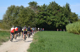
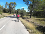
At the heart of the Montagnette
SportPresentation
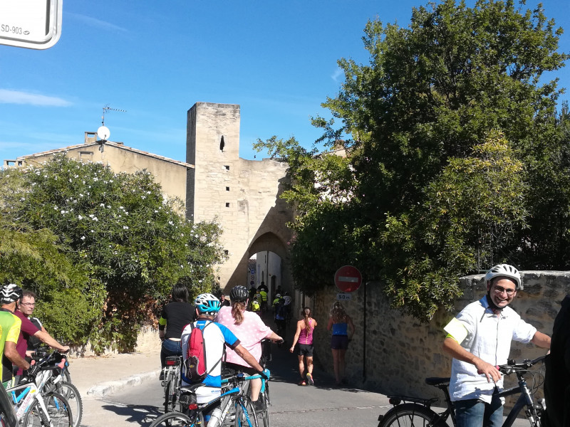
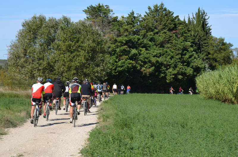
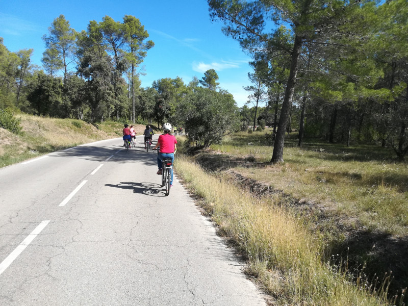
Discover the Provencal authenticity through a trip to the heart of an emblematic place of land of Provence: the massif of the Montagnette.
The 30 kilometer loop in the heart of the Montagnette massif will leave you with a lot of memories (and thighs!). This 4-hour ride on the outskirts of Graveson, village of the fauvist painter Auguste Chabaud, and which takes you to the Abbey of Saint-Michel de Frigolet requires a little endurance. Don't worry! There is also a 15 kilometer loop to admire Provence by bike and with your family. A nice walk of 1h30 which takes you to discover the village of Barbentane and its surroundings. And take advantage of the picnic areas for a delicious meal on the go in the open air.
1 - At the start in front of the town hall, go down to the left on the main avenue.
2 - At the stop sign, turn right immediately "Rue du Rhône".
3 - At the traffic circle turn left "Rue de la Durance".
4 - Turn left on the D35
5 - After 20m, turn right "Chemin de l'Esplantade". Continue straight on the path which becomes dirt.
6 - At the small bridge turn right "Chemin des Lonnes".
7 - At the intersection turn left, "Chemin du mouton". Continue straight on the path. To reach the banks of the Rhône. On the left you will reach Aramon and the eurovéloroute ViaRhôna (EV17).
8 - Turn right on the asphalt road to continue the loop.
9 - Continue straight ahead until the barrier indicating the waste disposal center. Turn right "Chemin de la Sainteté".
10 - At the crossroads, take on the right "Chemin de la Ramière".
11 - At the roundabout, follow the direction of Rognonas on the D34. Take the D34 for 500m.
12 - At the sign "Hôtel Castel Mouisson" turn right "Chemin sous les Roches".
2 possible options:
If you want to do the small loop (15 km):
13 - Turn right on the "Route des Carrières". Continue straight ahead.
21b - At the stop sign turn right onto the D35e.
22 - Turn right on the "Chemin des Moulins", you can enjoy a stop at the Anglica Tower before going back down by the door and the "Rue de Séquier".
23 - Take the 1st right "Rue de la Caradone". Be careful, strong descent!
24 - You arrive on the place of the church of Notre Dame de Grace. Take the steps behind the church to admire the panorama from the heights. To reach the place de la Mairie, continue "Chemin rue Pujade" on your left.
If you want to do the big loop (30 km):
13 - Turn left on the "Route des Carrières".
14 - At the crossroads, turn right on the "Route de Terrefort".
15 - Go ahead until the crossing of the departmental road, take on the right on the colored shoulder.
16 - After 800m take the dirt road on your right. Continue on the "Chemin Saunier".
17 - To reach the center of Graveson, turn left "Chemin des Areniers". Otherwise, continue straight ahead until the Cadillan roundabout.
18 - Take the 1st exit, D930 for 500m.
19 - Turn right "Chemin de la Juverte", you pass under a small tunnel.
20 - After the small ascent, turn left on "Traversée de la Juverte".
21 - Turn right on the D81. After the Abbey, go straight on for 5km.
Return to n°22 for the continuation.
Accessible for disabled
Opening period (s)All year round.
Practical information
- Route :
- Signposted route
- Distance (km) : 30
- Daily duration (minutes) : 240
- Route : BOUCLE
- Parking :
- Parking nearby
- Visits :
- you can visit it
- Average group visit length (minutes) : 120
- Average individual visit length (minutes) 240
- Levels of sporting experience :
- Level green –very easy
- Level red – hard
- Cycle sports :
- Cycling sports
- Cycle tourism route
- Natures field :
- Hard coating (tar, cement, flooring)
- Tourist itinerary :
- Tourist itinerary
Contact
At the heart of the Montagnette
Centre ville de Barbentane
13570
Barbentane
Destination
Au coeur de la Montagnette
Centre ville de Barbentane
13570
Barbentane
GPS coordinates
Latitude : 43.898706
Longitude : 4.747742


