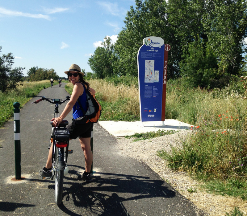
By bike, along the ViaRhôna
SportPresentation
Easy
Travel by VTC the last section of the ViaRhôna, along the Rhône river between Arles and the Mediterranean Sea.
Practical information
- Route :
- Signposted route
- Distance (km) : 55
- Daily duration (minutes) : 150
- Route : Aller / Itinerance
- Route : 23
- Visits :
- Average individual visit length (minutes) 150
- Cycle sports :
- Cycling sports
- Cycle tourism route
- Tourist itinerary :
- Tourist itinerary
- Park :
- Camargue Regional Nature Park
Tarifs
Free access.
- Spoken language(s) :
Destination
A vélo, le long de la ViaRhôna
Arles
13200
Arles
GPS coordinates
Latitude : 43.656978
Longitude : 4.621305


