In the footsteps of Marie-Madeleine - From Martigues to Carry-le-Rouet
Pedestrian sports, Hiking itinerary Interdepartmental Interdepartmental Pilgrims Walkers/hikersItinéraire
 Departure/Arrival
 Point of interest
Circuit n° 1
Point 1 - From Martigues
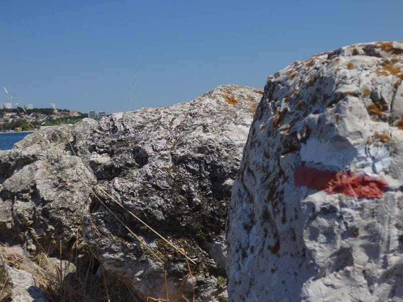
At the MJC, turn left on Boulevard Émile Zola. At the traffic light, turn right after the public garden to climb the stairs and go straight ahead on Boulevard Voltaire, cross Rue Bellevue and go straight through the apartment buildings of the Cité des Deux-Portes. At the end of this passage, go up opposite in the street Sylvia de Luca. At the end, enter the tunnel, cross a barrier, join a track and stay to the left. Follow the wide track on the way up. At the crossroads, continue on the track opposite, at the next crossroads turn right, directional post CB 68.
Separation of the GR® from Country 2013.
Go down the track to the right towards the power line in the Mistral valley. Keep the power line on the left. Cross the D 5 at the pass (be careful!). Go left at the CB 70 directional post, go up the track to the right, walk along the right along old mills. Pass to the right of the electric pylon, then descend to the left under the electric line and keep it to the right. Go straight.
Point 2 - La Gatasse
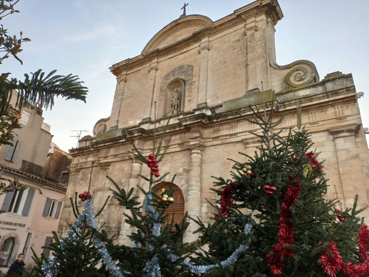
After a wide S, pass under the power line, at the intersection, go down to the left on the large track (800 m). Continue without turning until the D 49A, follow it straight for 800 m. At the roundabout, go up rue du Tilleul opposite. Leave it on the right towards the cemetery. Pass between the church and the remains of the oppidum to go down the stairs and the lane to n ° 10, turn right towards the car park on rue Abbé Villard.
At the crossroads, go down the Chemin des Gides to the right. At n ° 35, stay to the right, after the vineyard and at the large screened gate, turn left, reach a ruin of a sheepfold. Go up the path to the left which becomes stony. At the cistern, go up the track to the left towards Gatasse and continue through the pine forest. After the barrier, in the bend of the paved road, (directional post CB 47), turn right and go up the D 49. At the telecommunications antenna, a little before the Col de la Gatasse, cross (be careful!) . Follow the plateau track straight ahead. [O> point of view]. Pass near the cistern and the ford tower, at the crossroads, turn right and continue on the main track.
At the crossroads, go down the Chemin des Gides to the right. At n ° 35, stay to the right, after the vineyard and at the large screened gate, turn left, reach a ruin of a sheepfold. Go up the path to the left which becomes stony. At the cistern, go up the track to the left towards Gatasse and continue through the pine forest. After the barrier, in the bend of the paved road, (directional post CB 47), turn right and go up the D 49. At the telecommunications antenna, a little before the Col de la Gatasse, cross (be careful!) . Follow the plateau track straight ahead. [O> point of view]. Pass near the cistern and the ford tower, at the crossroads, turn right and continue on the main track.
Point 3 - By the sea
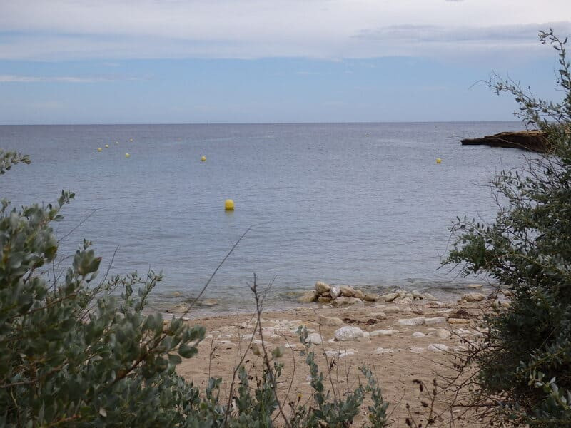
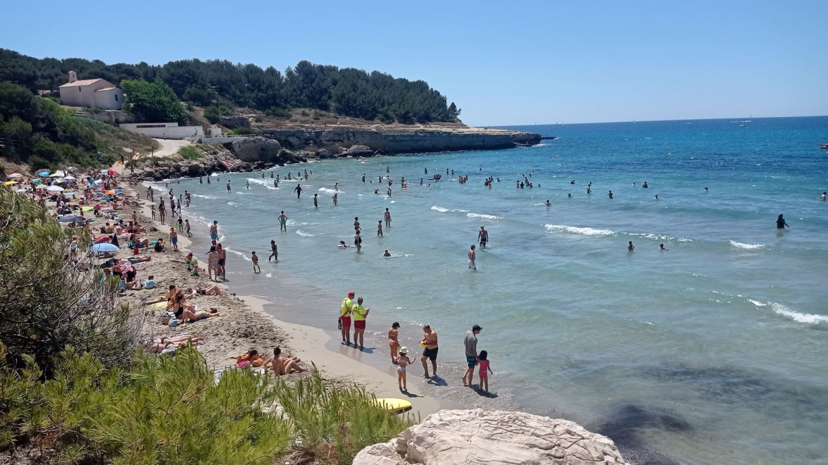
Turn right before the tank, directional post CB 16, at the next crossroads, follow the left track. Pass under the power line, cross a barrier, take the nozzle under the expressway, continue in the woods and fork to the left. Walk along the railway line, cross a small bridge, then over the railway line. At the end of Chemin des Roussures, turn left onto the small dirt track which avoids crossing the road. Cross the Chemin des Rouges, directional post CB 15 and go right towards the roundabout. Cross the Route des Bastides to take the green lane opposite. Go down, at the roundabout head towards Sainte-Croix by the path bordered by large rocks. Walk along the campsite, down the footpath that borders the pine forest. Arrive on the beach of Sainte-Croix. Go left towards the chapels, directional post CB 13.
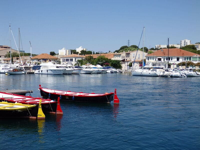
After the Sainte-Croix chapel [O> on the left, an old 12th century chapel], continue along the coast along the campsites, pass near the radar station, descend to the Tamaris port and the car park. Cross the road to follow the coastal path at the eastern end of the harbor. Walk along the coast and pass an archaeological site at the end of a small road. Follow the shore to the D49 (be careful!) And the reed bed.
After the Sainte-Croix chapel [O> on the left, an old 12th century chapel], continue along the coast along the campsites, pass near the radar station, descend to the Tamaris port and the car park. Cross the road to follow the coastal path at the eastern end of the harbor. Walk along the coast and pass an archaeological site at the end of a small road. Follow the shore to the D49 (be careful!) And the reed bed.
Punto 4 - Para Carry-le-Rouet
Go down to the right towards Boumandariel cove, directional post CB 14. Follow the coastal promenade which leads to the port of Sausset les Pins. Go around the port. Continue along the corniche for about 1.5 km, until it meets the RD 5. At the end of the Promenade de la Corniche, go down to the right. Follow the road towards Carry le Rouet.
After the veterinary clinic, leave the road on the right to find the edge of the coast. Then follow the coastline to the port of Carry, passing through the Tuilière nautical center. Arrival at the port is via Fernandel Beach. Partially bypass the port. Aim on the left, between a brasserie and a restaurant, the stairs, which go up by the rue Jérôme Chapuis towards the Route Bleue, go to the right. When leaving the bend to the left, go down the avenue Gérard Montus to the right which leads to the beach of Cap Rousset.
At the end of the beach, enter the Barqueroute subdivision (private property). Follow the aisle
Presentation
This is stage 04 of the itinerary "In the footsteps of Marie-Madeleine" dedicated to Sainte-Marie-Madeleine. The circuit will take you on a journey to discover the religious heritage of Martigues and in particular the Côte Bleue in the direction of Carry-le-Rouet.
After discovering the sights of the city center, head inland before reaching the Mediterranean coast. You'll reach Sainte-Croix beach and its chapel overlooking the landscape. A seaside path will take you to the towns of Sausset-les-Pins and Carry-le-Rouet, before continuing to Marseille.
From the town center of Jonquières to Martigues, you'll pass through a tunnel to reach the countryside of Saint-Julien-les-Martigues. Crossing this vast agricultural plain will take you to the Mediterranean coast. You'll discover Saint-Pierre-les-Martigues, a neighboring village. With its church and Gallic oppidum, it preserves traces of its past. The magnificent landscapes will allow you to admire the vineyards, olive groves, and almond groves of our local producers.
If you're interested, stop by one of the producers to discover their local expertise.
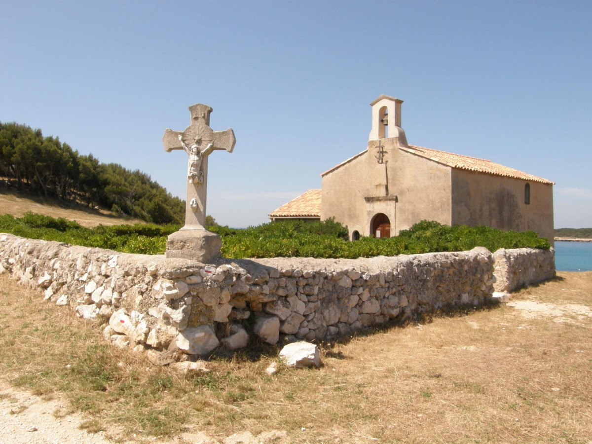
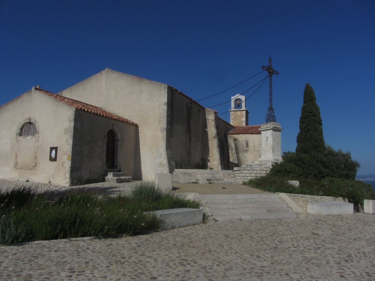
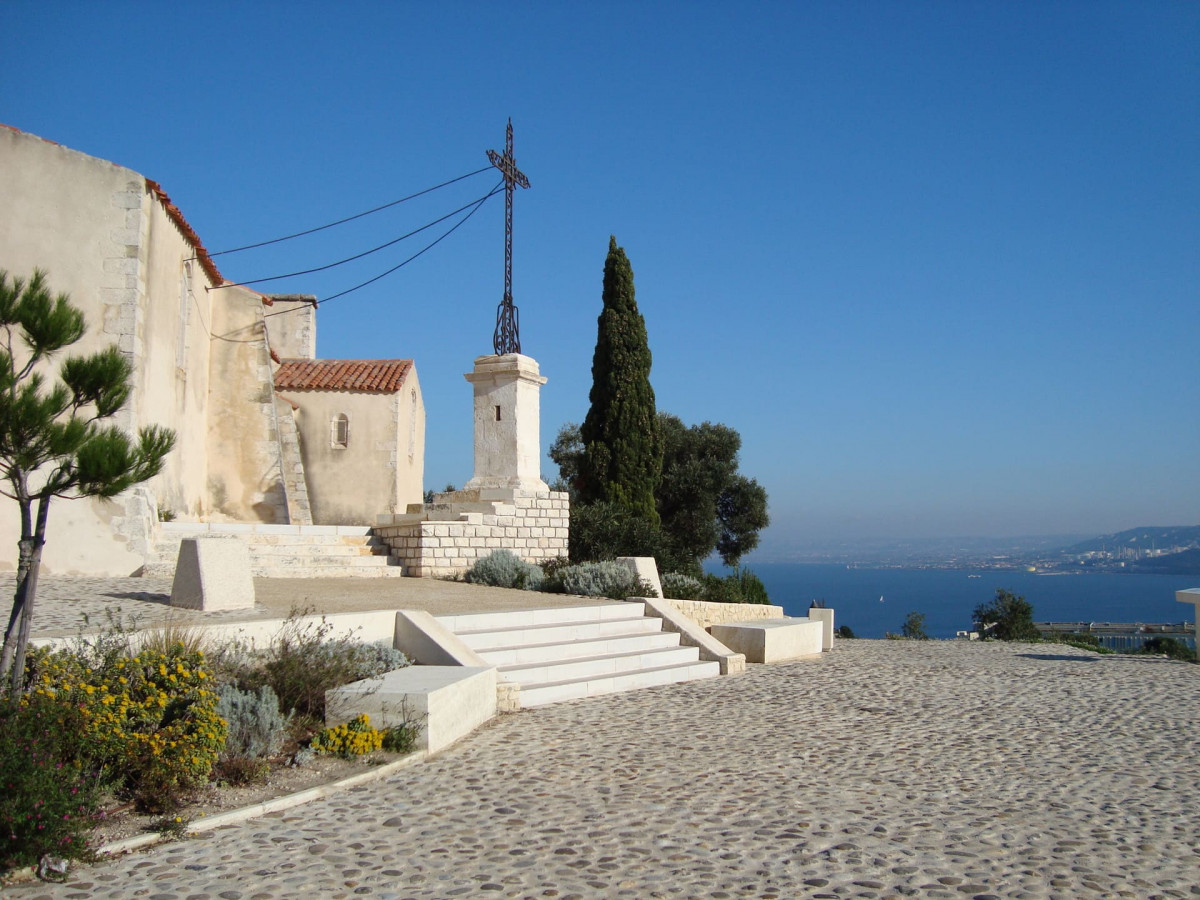
The climb will be a bit steep until you reach the Col de la Gatasse. Cross the bridges and railways to then descend towards the sea and reach Sainte-Croix beach and its famous chapel. It was here, at the Chapel of Sainte-Croix, that Mary Magdalene found refuge during her shipwreck at sea alongside Mary Jacobea, Mary Salome, and Lazarus. It is said that pilgrims gather here every year to do penance.
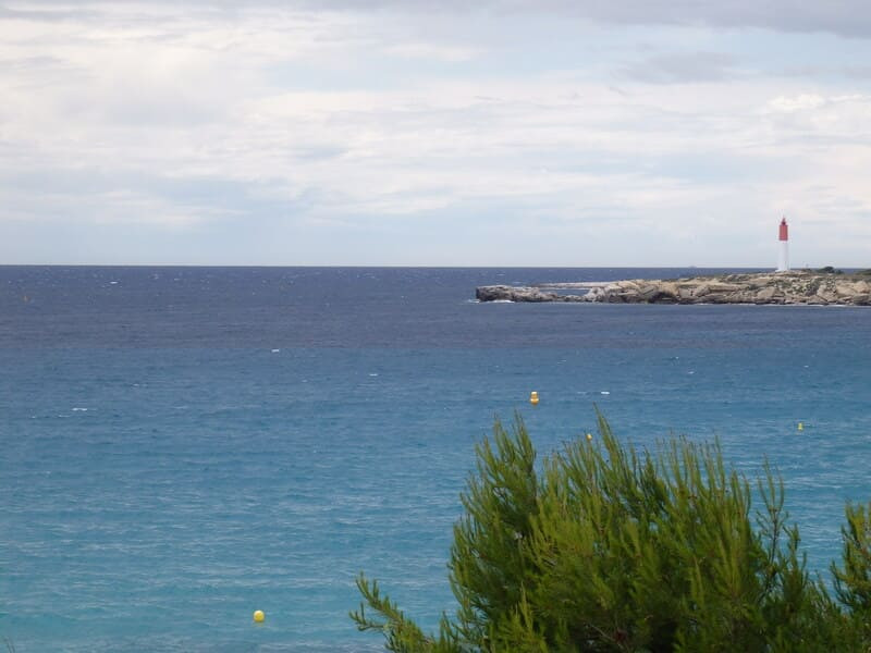
Continuing along the marked trail, you will reach the port of Tamaris, Boumandariel cove, and then the reed bed of Sausset-les-Pins. You will continue your journey along the coastal road. You will arrive in Carry-le-Rouet via Fernandel beach. Follow the coastline, cross the town center to reach Cap Rousset beach.
Go to stage 5 to continue your journey.
Opening period (s)All year round daily.
Subject to favorable weather.
Subject to favorable weather.
Practical information
- Route :
- Signposted route
- Distance (km) : 27.5
- Daily duration (minutes) : 540
- Route : Aller / Itinerance
- Route : 633
- Parking :
- Free car park
- Levels of sporting experience :
- Level bue - Medium
- Natures field :
- Rock
- Stone
- Clay
Features/Theme
- Environments :
- Village centre
- Town location
- In the old centre
Download
Pics
We also suggest...


