
The Second World War military vestiges of La Couronne
Pedestrian sports, Hiking itinerary Interdepartmental InterdepartmentalItinéraire
 Departure/Arrival
 Point of interest
Circuit n° 1
Access condition: Between June 1 and September 30, access to forest areas is regulated by prefectural decree and may be by municipal decree, for your safety and the preservation of sensitive sites. Before following your “stroll desires”, call 0811 20 13 13. Each day, you will be able to find out if the site where you want to walk is free access all day, open only in the morning, or completely closed. Depending on the weather conditions, the “forest fire” danger level (orange-red-black) is known no later than 6 pm for the next day.
Point 1 - Vallon de Cavalas car park - Military remains loop
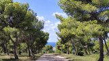
From the car park, take the climb to the mill.
Follow the D.F.C.I. (barrier L23) on your right in the direction of the military structures including the Cavalas battery.
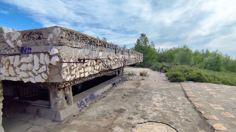
It was a battery of the Kriegsmarine (German navy) served by 2 officers, 12 non-commissioned officers and 137 men forming the 5 / MAA 625. Distributed in a north-west / south-east direction on the ridge that separates the Vallon from the Brègue du Vallon de Cavalas, the 5 210 mm K39 / 40 guns were directed by a non-regulatory construction fire direction post (the famous "Regelbauten" of the Todt Organization, responsible for building the Atlantic Wall ).
It shows two periods of construction, one of which was abandoned. It was composed of several elements: 76.2mm FK 39 cannons, 210mm cannon tanks, 210mm gun fire direction post, DCA fire direction post, anti-aircraft guns (Flak), trench and ammunition bay for the Flack, abandoned position.
Follow the D.F.C.I. (barrier L23) on your right in the direction of the military structures including the Cavalas battery.
It was a battery of the Kriegsmarine (German navy) served by 2 officers, 12 non-commissioned officers and 137 men forming the 5 / MAA 625. Distributed in a north-west / south-east direction on the ridge that separates the Vallon from the Brègue du Vallon de Cavalas, the 5 210 mm K39 / 40 guns were directed by a non-regulatory construction fire direction post (the famous "Regelbauten" of the Todt Organization, responsible for building the Atlantic Wall ).
It shows two periods of construction, one of which was abandoned. It was composed of several elements: 76.2mm FK 39 cannons, 210mm cannon tanks, 210mm gun fire direction post, DCA fire direction post, anti-aircraft guns (Flak), trench and ammunition bay for the Flack, abandoned position.
Point 2 - Watchtower - Military remains loop
On the path leading to the lookout, you will find on your left the cannon tanks and the fire direction post.
Then on the right, you can see the DCA (Defense Against Airplane) fire control post and the anti-aircraft gun locations (Flack), again on your left.
Follow the D.F.C.I. from the Vallon de Cavalas to les Laurons.
Then on the right, you can see the DCA (Defense Against Airplane) fire control post and the anti-aircraft gun locations (Flack), again on your left.
Follow the D.F.C.I. from the Vallon de Cavalas to les Laurons.
Point 3 - Chemin de Laurons - Military remains loop
At the D.F.C.I. barrier L1, take on your right and follow the road for about 50 meters in the direction of Laurons.
Cross the road and take the path through the groves towards the Laurons blockhouse.
This German position had a flanking casemate with two crenellations for 75 mm guns on field mount. Behind the casemate (about 50 m to the east) there is a platform for a 75 mm cannon allowing 360 ° firing. It protected Laurons Cove to the north and Bonnieu Cove to the south in the event of an Allied landing.
Then turn left and follow the coastal path to Bonnieu Nord car park.
Walk along the car park on the left, take the track on the left and take the path on the right to enter the interior of the site.
Point 4 - Bonnieu Casemate - Military remains loop
Take the path where you will meet Bonnieu's position with its casemate.
Bonnieu's position participated in the defense of the coast against "a coup de main" on Arnette's Cove to the south and in conjunction with the Laurons position to the north. It also contributes to the close protection of Arnette’s battery. In its southern part, the position of Bonnieu possessed a medium caliber cannon in casemate (firing axis towards Carro), a searchlight, a grenade launcher and several machine guns. It was protected to the south by a network of still visible trenches.
Go around the casemate and take the path on your right marked in blue.
Point 5 - Wastewater treatment plant - Military remains loop
Go down to the old wastewater treatment plant, walk around it, take the path on the right, bordered in places by ruts.
It leads to the quarry used by the Germans in WWII and to Arnette's Semaphore.
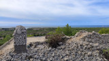
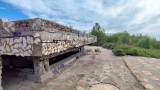
Arnettes Battery was a German Army (Heer) artillery position numbered 12./1290 HKAR. It was armed with three 17 cm KL / 50 guns on platforms. The old Arnettes quarry, to the north of the position, housed the barracks. The installations of the old semaphore were therefore reused. It appears that the close defense of the battery was provided by two 7.5 cm FK16 nArt guns and one 150 cm searchlight, as well as two 2 cm Flak 30 guns and one 2 cm Flak 38 Vierling (quadruple) gun .
The fire direction post was either between the platforms or at Arnette's old semaphore. This position still has its three circular platforms, with two ammunition bunkers placed symmetrically on either side of the rear access and two personnel shelters. The remainder of the position features numerous structures buried around the platforms: these were double entry ammunition bunkers and DCA ("Flak") platforms.
Continue on the path straight ahead (marked in blue) towards the railway track, then follow the path on your right to discover the face of the old quarries of Soubrats as well as the bories.
Walk along the railway line.
It leads to the quarry used by the Germans in WWII and to Arnette's Semaphore.
Arnettes Battery was a German Army (Heer) artillery position numbered 12./1290 HKAR. It was armed with three 17 cm KL / 50 guns on platforms. The old Arnettes quarry, to the north of the position, housed the barracks. The installations of the old semaphore were therefore reused. It appears that the close defense of the battery was provided by two 7.5 cm FK16 nArt guns and one 150 cm searchlight, as well as two 2 cm Flak 30 guns and one 2 cm Flak 38 Vierling (quadruple) gun .
The fire direction post was either between the platforms or at Arnette's old semaphore. This position still has its three circular platforms, with two ammunition bunkers placed symmetrically on either side of the rear access and two personnel shelters. The remainder of the position features numerous structures buried around the platforms: these were double entry ammunition bunkers and DCA ("Flak") platforms.
Continue on the path straight ahead (marked in blue) towards the railway track, then follow the path on your right to discover the face of the old quarries of Soubrats as well as the bories.
Walk along the railway line.
Point 6 - Railway bridge - Military remains loop
Cross the small bridge towards Vallon de la Marrane, on your right is the Arqueirons quarry.
Follow the dead end road to the right then take another right before the next “dead end” sign.
Turn right again towards the Auffans quarry and its working faces, then continue on your way to the mill.
Follow the dead end road to the right then take another right before the next “dead end” sign.
Turn right again towards the Auffans quarry and its working faces, then continue on your way to the mill.
Presentation
During this hike, you will discover several bunkers with multiple uses, at the same time ammunition depot, observation post or location of artillery pieces and several casemates.
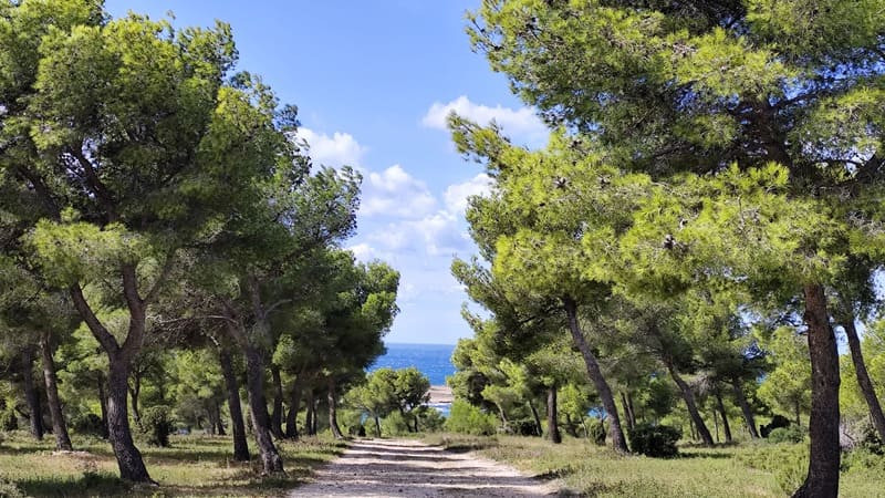
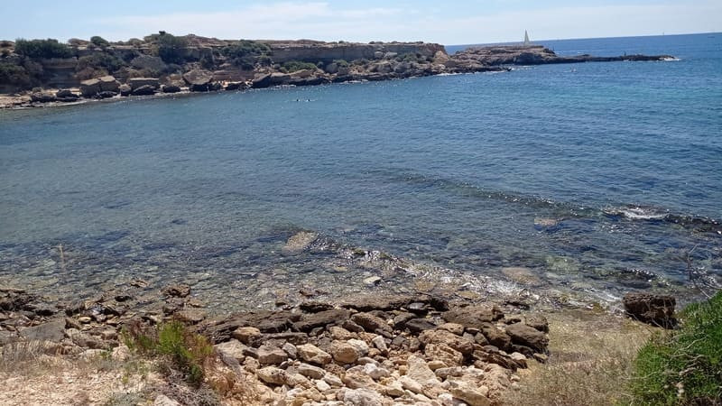
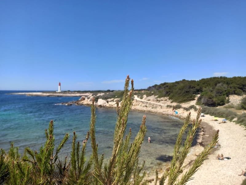
The Second World War military vestiges of La Couronne - Carro are on a coastal ridge.
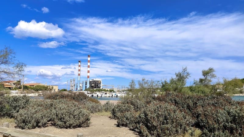
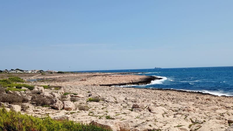
These sites, including ammunition bunkers, tobrouk bunkers, platforms, trenches and shooting posts, developed by the German army in 1943 and 1944, have more or less strategic positions. Walkers visiting the sites can also enjoy stunning views of the Mediterranean and over the hills of this protected area.
These sites, including ammunition bunkers, tobrouk bunkers, platforms, trenches and shooting posts, developed by the German army in 1943 and 1944, have more or less strategic positions. Walkers visiting the sites can also enjoy stunning views of the Mediterranean and over the hills of this protected area.
Accessible for disabled
Opening period (s)All year round daily.
Subject to favorable weather.
Subject to favorable weather.
Practical information
- Route :
- Signposted route
- Distance (km) : 10.5
- Daily duration (minutes) : 180
- Route : BOUCLE
- Route : 187
- Parking :
- Free car park
- Levels of sporting experience :
- Level bue - Medium
- Natures field :
- Rock
- Stone
- Clay
Features/Theme
- Environments :
- In the country
Download
Pics


We also suggest...


