The great Côte Bleue trail
Pedestrian sports, Hiking itinerary Interdepartmental InterdepartmentalPresentation
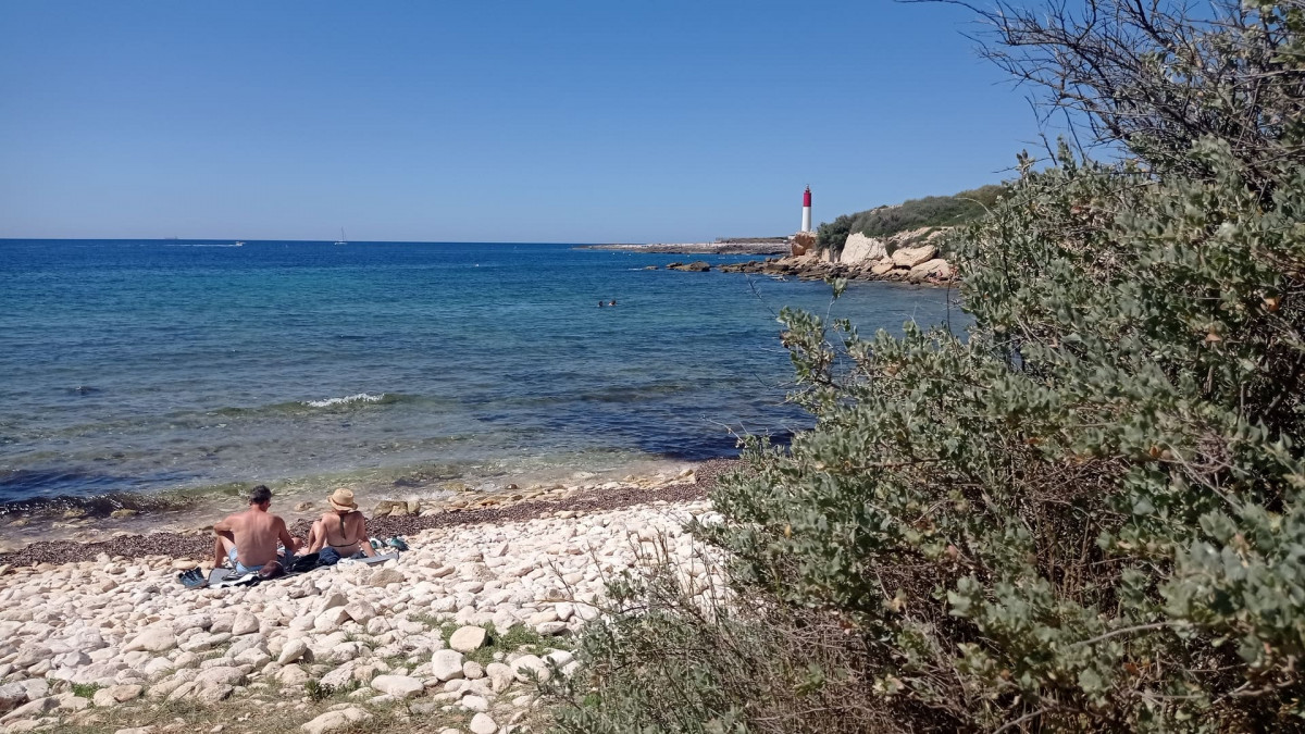
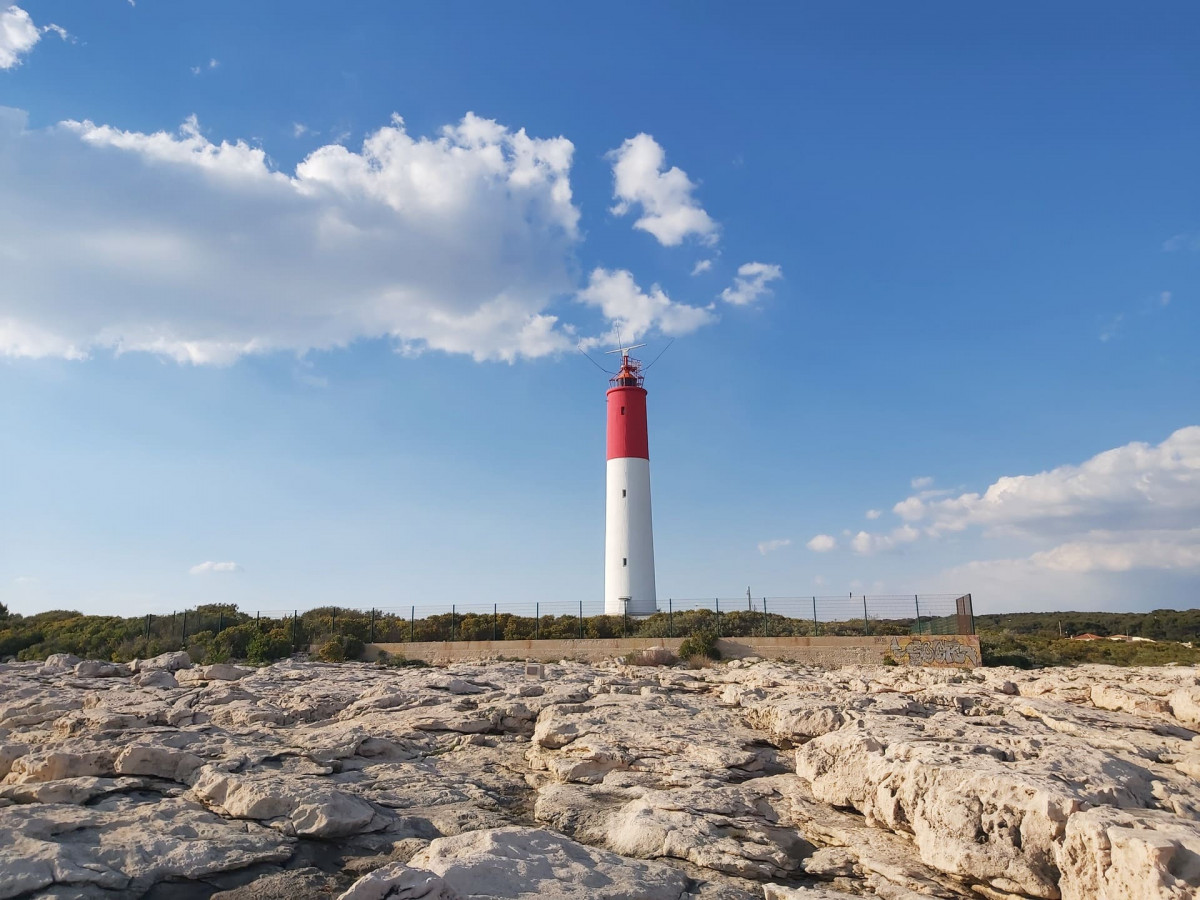
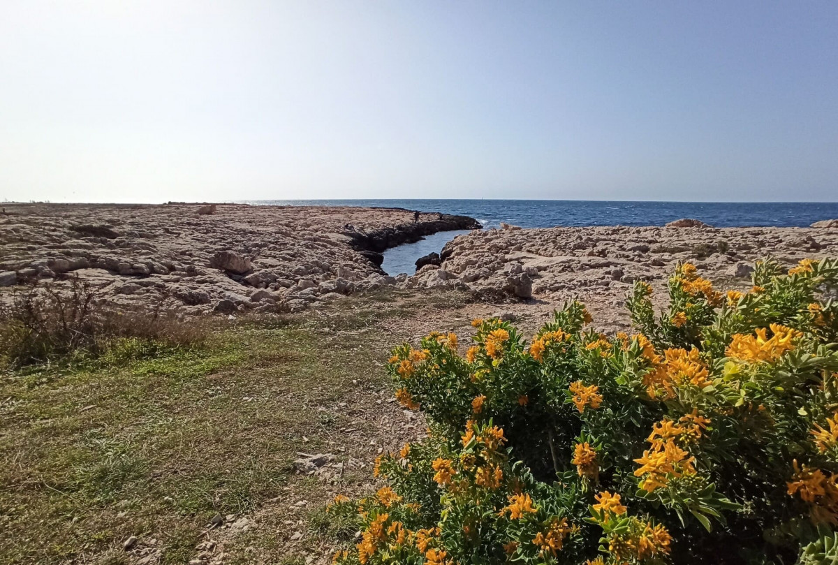
The 62 km long Grand Sentier de la Côte Bleue can be covered in 3 to 4 days of walking. From station to station, explore the hiking trails located on the Mediterranean coast. From Carro / La Couronne (Martigues) to Ensuès-la-Redonne.
Marked trails between Martigues and Ensuès-la-Redonne of 2 to 12 kilometers which form a large loop along the Mediterranean coast. It consists of 17 interior loops, 2 to 12km long and with different elevations. These walking routes are accessible for the most part from the stations of Niolon, Ensuès-la-Redonne, Carry-le-Rouet, Sausset-les-Pins and la Couronne.
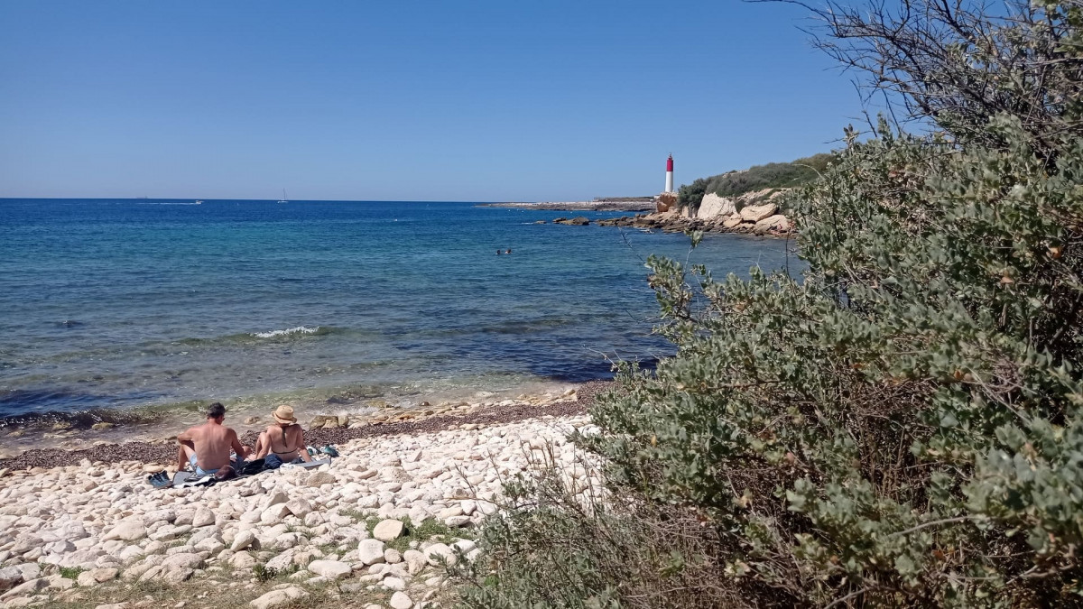
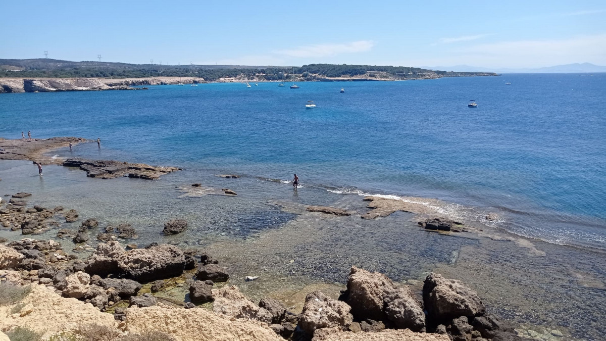
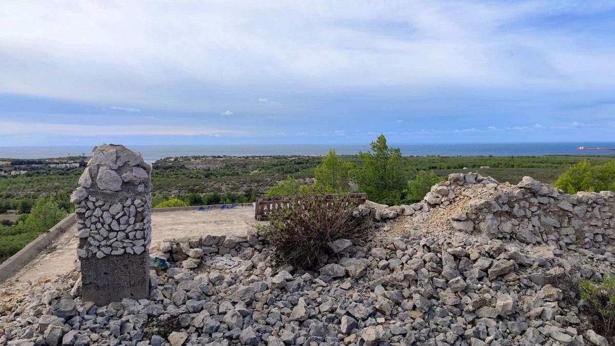
The commune of Martigues includes 5 local loops between 4 and 24 kilometers which will allow you to learn more about the history of the coastline, notably the presence of military remains. Discover exceptional landscapes that are wild, natural and industrial depending on the choice of route.
• Martigues
- Large Cap Couronne loop. Departure from Gare de la Couronne. 24km.
- Botanical loop of the Carro plain. Departure from the Arnettes car park. 4km.
- Boumandariel local loop. Departure from Boumandariel parking lot. 5.5km.
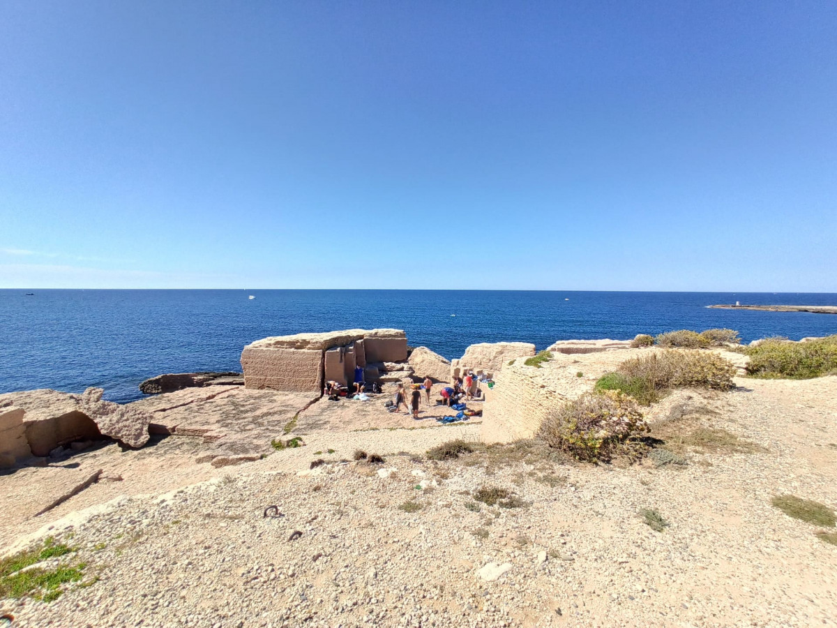
- La Couronne stone quarries loop. Departure from the Ragues car park. 12km.
- Military remains loop. Departure from Cavalas path. 10km.
The commune of Sausset-les-Pins includes 4 local loops which combine hills and old village. In particular, you can enjoy the reed bed and the botanical trail, renowned for their tourist character. Walk the corniche and enjoy the horizon before you with a breathtaking view of the Marseille islands.
• Sausset-les-Pins
- Sea and Hill Valestéloué loop. Departure Tourist Office. 6.5km.
- Grand Vallat Littoral loop. Departure Tourist Office. 5km.
- Sea and Pinede Valapoux loop. Departure Tourist Office. 10.5km.
- Botanical Reed Garden Trail Loop. Departure RD49 towards La
Crown, reedbed car park. 2.3km.
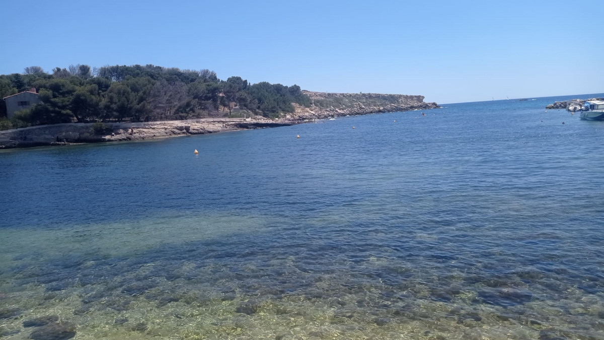
The commune of Carry-le-Rouet includes 5 local loops which alternate between valleys and hills but also between creeks and coves. You will be charmed by the Calanque des Eaux Salées and its railway viaduct through which the Côte Bleue train passes.
• Carry-le-Rouet
- Loop Between Sea and Hill. Departure from SNCF station. 12km.
- Loop Le Tour du Romaron. Departure Tourist Office. 8km.
- Le Vallon de Jaume loop via the Caves. Departure Tourist Office. 10km.
- La Calanque des Eaux Salées loop. Departure from Rouet beach. 4km.
- Notre Dame du Rouet loop via the plain. Departure from Rouet beach. 12.4km.
The commune of Ensuès-la-Redonne includes 3 local loops in the heart of the forest massif and 5 coves which enhance the coastline. Enjoy a breathtaking view of the Marseille harbor.
• Ensuès-la-Redonne
- Niolon Fort loop. Departure from Niolon station. 6km.
- Bourgailles Caucarières loop. Departure from Bourgailles parking lot. 4km.
- Calanques loop. Departure from the Ensuès-la-Redonne station car park. 6.5km.
This diversity of routes makes it possible to appeal to all types of public: families as well as experienced hikers.
Part of this trail was impacted by the fire of August 4, 2020, however it remains passable.
Opening period (s)All year round daily.
Subject to favorable weather.
Subject to favorable weather.
Practical information
- Route :
- Signposted route
- Distance (km) : 62
- Parking :
- Free car park
- Levels of sporting experience :
- Level black - very hard
- For experts / practiced
- Natures field :
- Rock
- Stone
- Clay
Features/Theme
- Environments :
- Village centre
Videos / Pics
We also suggest...


 Departure/Arrival
 Point of interest
