In the footsteps of Marie-Madeleine - From Fos-sur-mer to Martigues
Pedestrian sports, Hiking itinerary Interdepartmental Interdepartmental Pilgrims Walkers/hikersItinéraire
 Departure/Arrival
 Point of interest
Point 1 - From Fos-sur-Mer
Cross straight on between the pond and the old salt marshes. At the end, turn right, at the level of the quarry, follow the hairpin to the left then come back to the right to go around the piles of extracted materials.
After the quarry, take the second track on the right to walk parallel to the railway line. After the barrier, go left then pass the traffic lights on the right, go up Chemin du Canal du Roy, go left at the roundabout, first exit go under the bridge, follow the navigation canal from Fos sur Mer to Port de Bouc to the railway bridge. Junction with the GR® de Pays 2013.
Go up on the catwalk. At the end, go under the bridge (crossing the tracks is strictly prohibited), go up to the right and go straight towards the stadium. At the cypresses, turn right, pass the traffic light and under the railway tunnel.
At the stop sign, facing the Etang de Berre, turn left. Just before the second car park, follow the coastal path to the right. Cross a small parking lot, stay on the coastal path following the ethylene, brine, oxygen, nitrogen, hydrocarbon pipelines and find the avenue.
Point 2 - Along the canal
After the white bridge over the canal, go down the Quai de la Liberté to the right. At the roundabout, go left in avenue Gérard Baudet towards the fishing port, walk along and pass it. At the end of the avenue, after a shed, cross the railway line to the left, then go up to the right, stay on the road which crosses an industrial wasteland.
At the stop sign, turn right onto the D 50 towards Z.A. La Gafette. At the roundabout, take the second exit, go through the tunnel under the railway tracks. At the John Vella roundabout, take the first exit towards Croix-Sainte.
Enter Martigues by the Port de Bouc road. At the next roundabout, take the second exit, avenue du Mas de Saint-Jean. At the other roundabout, take the first exit Allée des Ajoncs, then continue straight on Allée du Mas de Pouane.
Point 3 - Direction the chapel of Notre-Dame-des-Marins
Go past the leisure facilities and go straight ahead in the pedestrian lane towards the tunnel which passes under the N 568.
Continue to the right on Chemin des Fabriques. At the stop sign, go left towards the crematorium. At the crossroads, go right onto Boulevard du Groupe Manouchian, at the roundabout exit at the second onto Boulevard Marcel Paul. Follow it for 1 km. At the end, go down to the right on Boulevard des Rayettes.
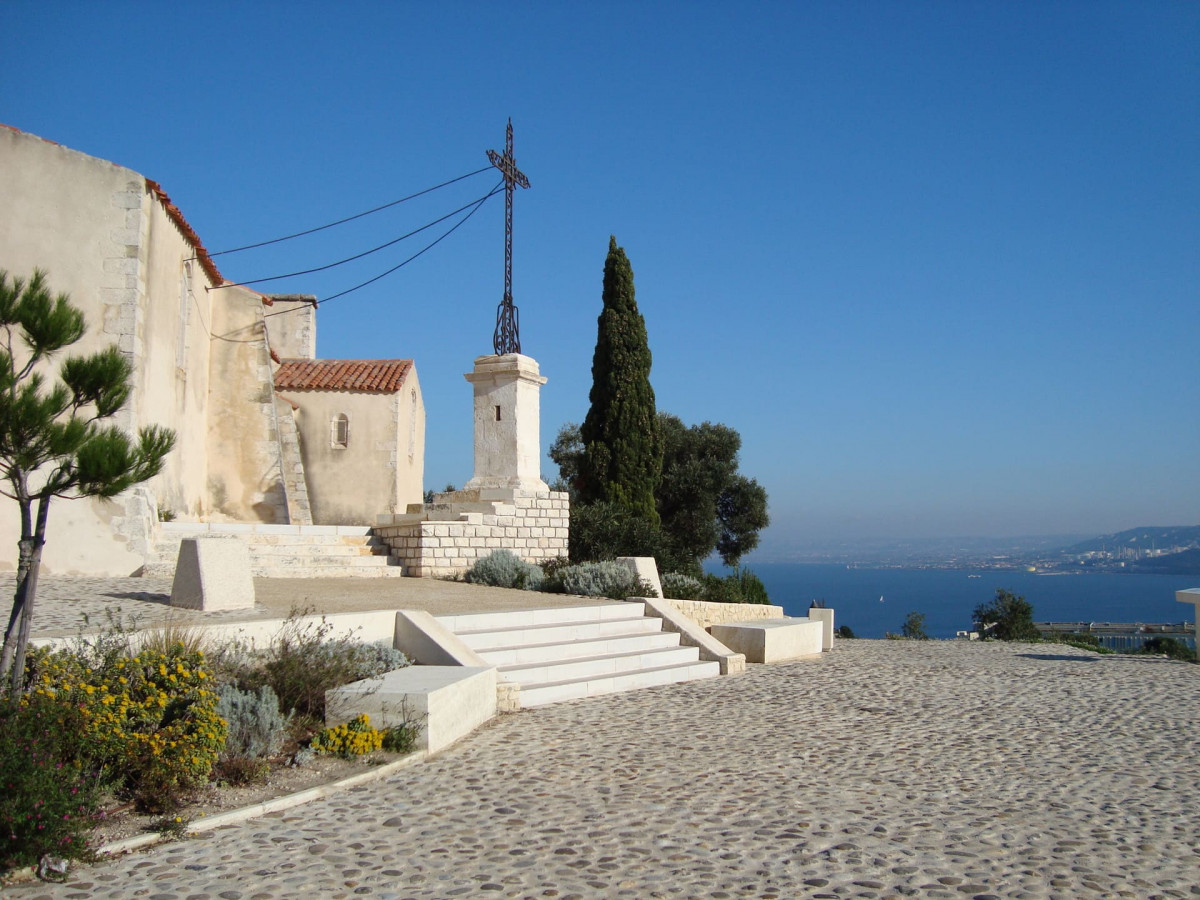
Follow the gates to the right to the hospital. At the roundabout, take the third exit, boulevard des Capucins. It turns to the right. At the "Notre Dame des Marins" accommodation, take the path that goes up the hill to the left, joins the track on the right, goes around a pylon, after a ruined bunker, go straight up to the road.
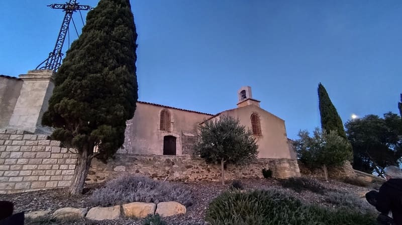
Turn right towards the Chapel of Our Lady of Mercy known as Notre-Dame des Marins. Cross opposite, in the direction of the wooded area between the houses, pass under the road, further cross the street and go around the port on the left.
Point 4 - Martigues town center
Go around the chapel to the right, at the end of the caladed path, go down the stairs and the narrow path to the right. At the crossroads, follow the second, wider path to the left which passes in a balcony above the garages. Leave the path to the mill on the right and go left. When coming out of a bend, go straight to the right.
At the intersection, follow the track to the right. Go through the barrier on the right, turn left to cross Avenue de Canto Perdrix, continue straight ahead in the small wood opposite.
Continue straight on between the Jeanne Pistoun social center and the stadium, take the pedestrian tunnel opposite and climb the wooded embankment on the left to descend Avenue Francis Turcan. At the traffic light, continue to the right.
At the gas station roundabout, take the second exit, cross straight through the shopping area and the D 5 to continue on Boulevard du Touret de Vallier. At the stadium in a bend to the left, before a small pine forest, go right to find the edge of the Etang de Berre. Go through the sailing school, climb along the fence.
Point 5 - Crossing the gardens
Follow the slightly overhanging shore to the Jardin de Tholon. Cross it and go up on Avenue Mozart to the left, at the end go left. At the roundabout, exit at the second avenue du Président Salvador Allende. After n ° 28, leave the road to catch up with the promenade along the bank, cross the park of La Rode, the square and the Place des Aires.
Cross the fixed bridge of the Baussengue canal on the left then the Gallifet canal via the bascule bridge, follow the Général Leclerc quay. After the real estate agency and the opticians, cross the Place des Martyrs on the right. At the insurance office, take a left onto Avenue Frédéric-Mistral. After n ° 32, go right into the discreet traverse Joseph Barthélémy.
Cross the fixed bridge of the Baussengue canal on the left then the Gallifet canal via the bascule bridge, follow the Général Leclerc quay. After the real estate agency and the opticians, cross the Place des Martyrs on the right. At the insurance office, take a left onto Avenue Frédéric-Mistral. After n ° 32, go right into the discreet traverse Joseph Barthélémy.
Presentation
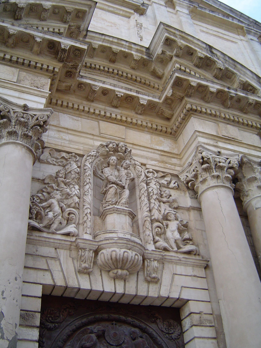
This is stage 03 of the itinerary "In the footsteps of Marie-Madeleine" dedicated to Sainte-Marie-Madeleine. The circuit will make you travel to discover the religious heritage of Martigues.
Departing from the town of Fos-sur-Mer, you'll be near its canal lounge and will follow the canal to Port-de-Bouc. Charmed by the gentleness of the South of France, it's the perfect place to take a break on the beaches you'll pass. You'll also follow part of the GR®2013 hiking trail to reach Martigues. You'll be captivated by the Provençal beauty of this town perched on the water.
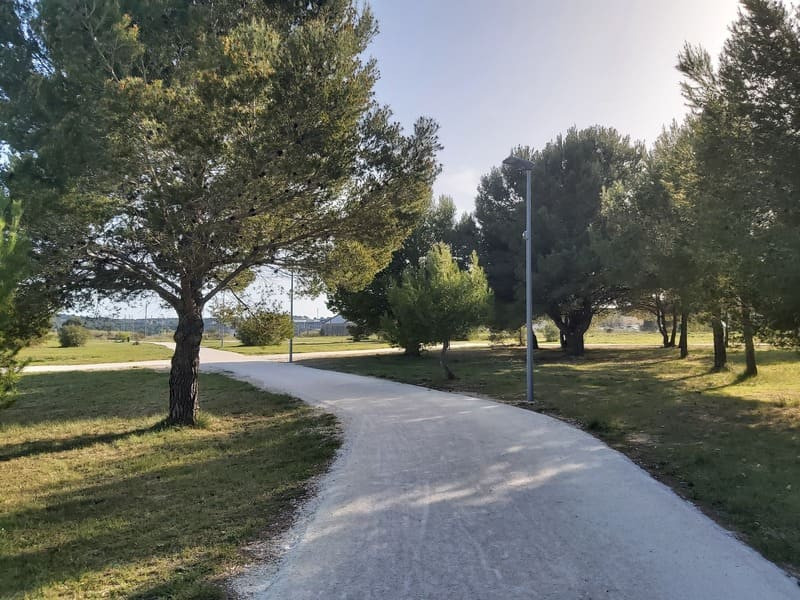
The In the Footsteps of Mary Magdalene trail takes you north of Martigues. You'll cross the Grand Parc de Figuerolles to enter the Martigues region. You'll follow the banks of the Étang de Berre to reach the town center. Discover the ruins of Figuerolles, Figuerolles Beach, the Cercle de Voile (CVM) water sports center, and then the archaeological site of Tholon and its washhouse.
Following the marked trail, you will pass through the Jardin de la Rode, the Jardin de Ferrières, and then the Place des Aires. You will then be in the city center of Martigues.
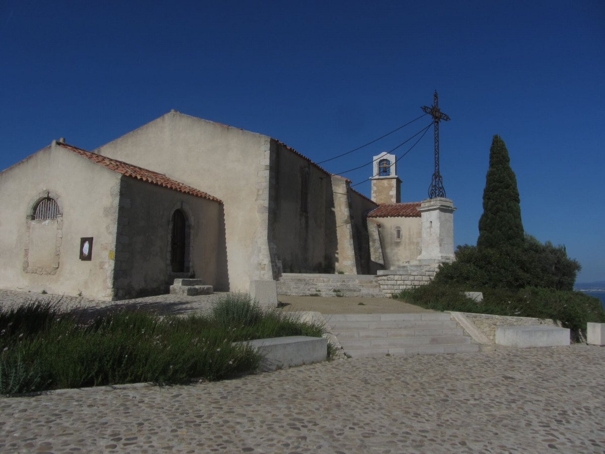
If you feel like it, you can deviate from the trail before entering the gardens and climb the hill to the Chapel of Notre-Dame-des-Marins. It offers a beautiful panoramic view of the city.
From the Place des Aires, cross one of Martigues' two blue bridges to reach the Ile district. Walk along the edge of the pond to cross the drawbridge and stop in the Jonquières district, which is the end point of this third stage of the In the Footsteps of Mary Magdalene in Provence trail.
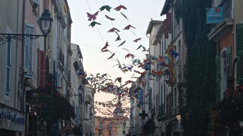
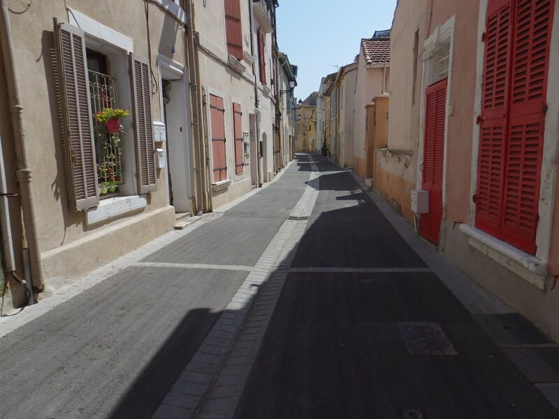
Here too, you can deviate from the recommended route to enter the Ile district and discover Martigues' most popular tourist attractions: the Church of Saint Mary Magdalene, the Miroir aux Oiseaux, the canals, and the colorful facades of Martigues.
Marie-Madeleine's journey continues with stage 4 which takes over from the town centre of Martigues, heading towards Carry-le-Rouet.
Opening period (s)All year round daily.
Subject to favorable weather.
Subject to favorable weather.
Practical information
- Route :
- Signposted route
- Distance (km) : 19
- Route : Aller / Itinerance
- Route : 292
- Parking :
- Free car park
- Levels of sporting experience :
- Levels of sporting experience
- Natures field :
- Rock
- Stone
- Clay
Features/Theme
- Environments :
- Village centre
- Town location
- In the old centre
Download
Pics
We also suggest...


