

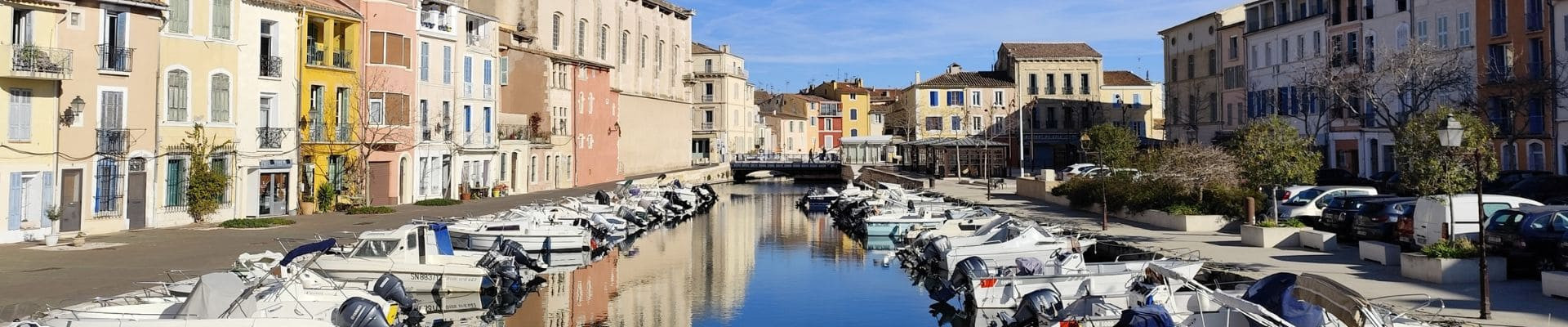
Walks and hiking trails in Martigues
It takes 3 to 4 days to cover the 62 km walking trail, Grand Sentier de la Côte Bleue. The trail includes 17 internal circular itineraries from 2 to 12 km with different gradients. Most of the itineraries are accessible from railway stations: Niolon, Ensuès le Redonne, Carry le Rouet, Sausset les Pins and La Couronne.
The 90 km walking trail, Sentier Entre Mer et Etang, overlooks the Mediterranean surrounded by hills and the banks of Étang de Berre, on the outskirts of the Camargue. It links three communes: Martigues, Port de Bouc and St Mitre les Remparts. The trail includes 8 internal circular walks from 4 to 14 km with different gradients.
The diversity of trails satisfies all types of walkers, from families to serious hikers.

This is stage 04 of the itinerary "In the footsteps of Marie-Madeleine" dedicated to Sainte-Marie-Madeleine. The circuit will take you on a journey to...
-
Route :
- Distance (km) : 27.6
- Daily duration (minutes) : 540
Pedestrian sports Hiking itinerary
Martigues
(Location)
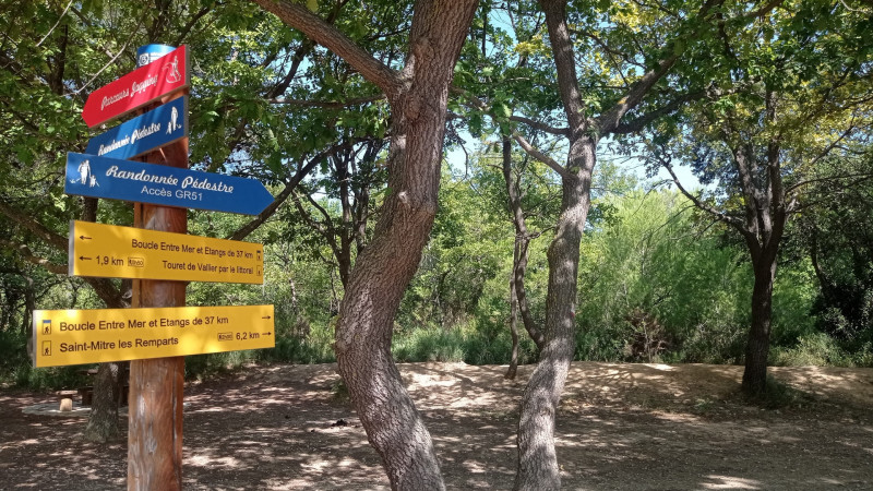
The Entre mer et Étang trail, open to the Mediterranean Sea, bordered by the hills and the banks of the Étang de Berre, at the gateway to the Camargue, is 38 km long.
-
Route :
- Distance (km) : 36.59

Pedestrian sports Hiking itinerary
Martigues
(Location)
The coastal path presents natural spaces of exceptional ecological diversity and landscape quality.
-
Route :
- Distance (km) : 13
- Daily duration (minutes) : 180
-
Offers tailored to specific clienteles :
- Children
Pedestrian sports Hiking itinerary
Martigues
(Location)
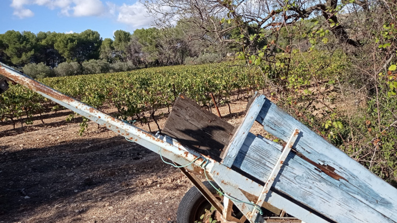
Between the Mediterranean and Etang de Berre, on the western edge of the Nerthe massif, lies the terroir of Venice Provençale.
-
Route :
- Distance (km) : 4
- Daily duration (minutes) : 90

Pedestrian sports Hiking itinerary
Martigues
(Location)
The 62 km long Grand Sentier de la Côte Bleue can be covered in 3 to 4 days of walking. From station to station, explore the hiking trails located on the Mediterranean coast. From...
-
Route :
- Distance (km) : 62
Pedestrian sports Hiking itinerary
Martigues
(Location)
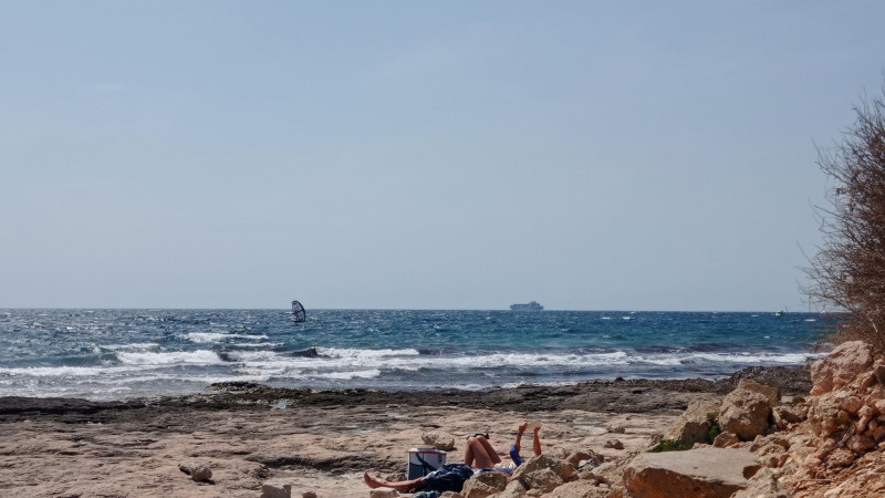
A wellness walk by the sea. Located on the coast between Carro and Les Laurons, this 1.5 km long and 3 m wide path is passable.
-
Route :
- Distance (km) : 1.5
- Daily duration (minutes) : 45
-
Offers tailored to specific clienteles :
- Children

Between hiking and pilgrimage, discover major places and sites of Christianity as well as the exceptional landscapes that the saint crossed during her...
-
Route :
- Distance (km) : 46.5

Sport Cycling sports Cycle tourism route Cycle sports
Starting from the city centre of Martigues, alternate between greenway and road towards the Côte Bleue for 13km by bike.
-
Route :
- Distance (km) : 13
- Daily duration (minutes) : 330
Martigues
(Location)
Half-day route by car between Martigues and Marseille "L'Estaque" crossing the Blue Coast, the beaches of Carro and La Couronne, the ports of Carry-le-Rouet, Sausset, or a detour ...
-
Route :
- Distance (km) : 38
- Daily duration (minutes) : 240

Sport Cycling sports Cycle tourism route Cycle sports
Leaving from the Martigues Tourist Office, hop on your bike and cycle back to Marseille along a 58km itinerary that is suitable for cyclists but not ...
-
Route :
- Distance (km) : 58
- Daily duration (minutes) : 330