Clock Tower - Belfry
Historic site and monument


Presentation
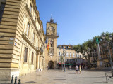
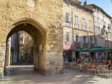
Gateway to the military post of Sextius, then to the town of Saint Sauveur, the communal tower spans the street on a Roman base of white limestone.
Straddling the street, on Roman bases of white limestone, the clock tower was the gate of the military outpost of Sextius and then the Bourg Saint Sauveur.
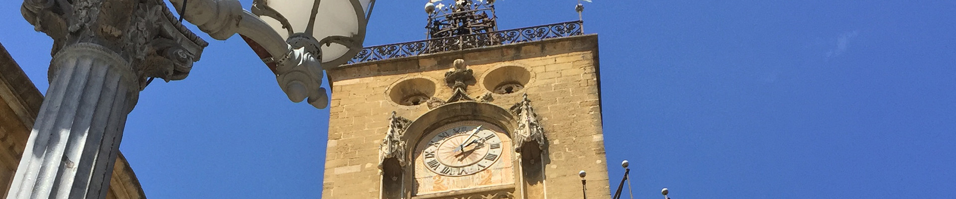
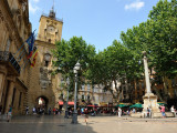
Raised in 1510 and redecorated with flamboyant pinnacles and ogees, the "great clock tower" was already the symbol and vehicle of the city's unity in the 14th century.
It carries (top to bottom): the proclamation or "ban" bell, in its 16th-century wrought-iron cage, which called the people to council or defence within a one-league perimeter ("banlieue" or "ban-league" is the modern French word for suburb).
Today it strikes the hours and the tocsin. The hourly clock, flanked by two modern statues, and the astronomical clock, from 1661, above the wooden figures of the four seasons (early 17th century) which appear in turn.
Since 1801 a funerary urn dedicated to the spirits of the country's defenders has replaced the bust of Louis XIII in its triumphal frame, which recalled the royal visit in 1622.
An inscription commemorates the liberation of Aix in August 1944
General information
- Style :
- Renaissance
- Park :
- Park
Services, Tours, Activities and entertainment
- Historical patrimony :
- Historic patrimony
- Tower
- Historical patrimony
Contact
Clock Tower - Belfry
Place De l'Hôtel de Ville
13100
Aix-en-Provence

FICHE_INFO_SIMPLE_LIBELLE_DESTINATION
Tour de l'Horloge - Beffroi
Place De l'Hôtel de Ville
13100
Aix-en-Provence
GPS coordinates
Latitude : 43.530025
Longitude : 5.447751